Catalog Archive
Auction 176, Lot 578

"Pinax Geographicus Patriarchatus Hierosolymitani Qualis ille Excipitur ex Veteribus Notitiis et Conciliis...", de la Rue, Philippe
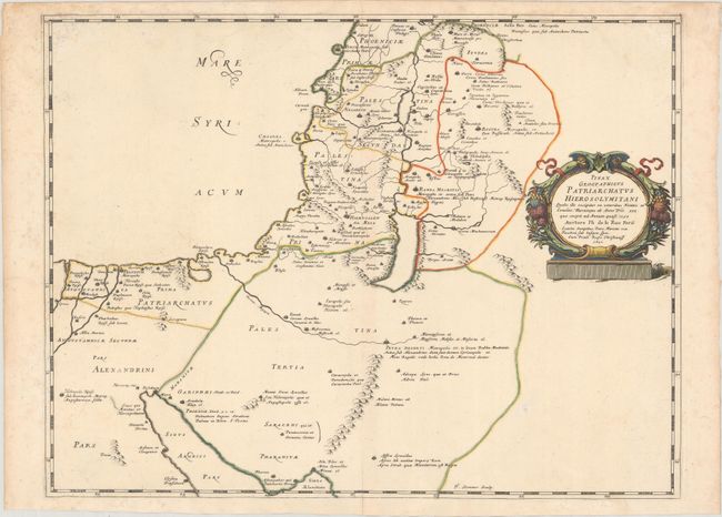
Subject: Holy Land

Period: 1651 (dated)

Publication: La Terre Sainte en Six Cartes Geographiques

Color: Hand Color

Size:
20.9 x 15.9 inches
53.1 x 40.4 cm
Download High Resolution Image
(or just click on image to launch the Zoom viewer)

A sharply engraved map of the Holy Land extending through the Sinai Peninsula to the mouth of the Nile. A decorative, garlanded cartouche surrounds the title. Engraved by Jean Sommer and published by Pierre Mariette.

References: Laor #419; Pastoureau, LA RUE [5].

Condition: A

A clean and bright example on watermarked paper with contemporary outline color in the map and later coloring in the cartouche. There is light soiling mostly confined to the blank margins.

Estimate: $200 - $230

Unsold

Closed on 2/12/2020

Archived