Catalog Archive
Auction 176, Lot 560

"Estats de l'Empire du Grand Seigneur dit Sultan et Ottomans Empereur des Turcs dans Trois Parties du Monde Scavoir...", Chiquet, Jacques

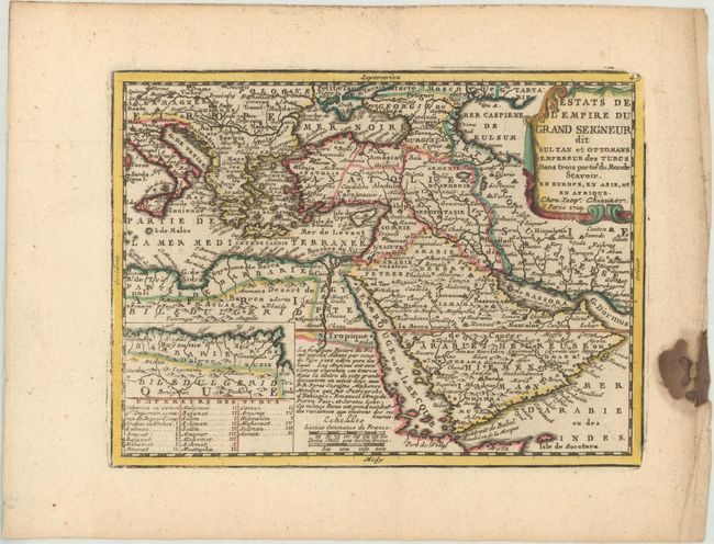
Subject: Eastern Mediterranean & Middle East

Period: 1719 (dated)

Publication: Le Nouveau et Curieux Atlas Geographique et Historique

Color: Hand Color

Size:
8.7 x 6.5 inches
22.1 x 16.5 cm
Download High Resolution Image
(or just click on image to launch the Zoom viewer)

This attractive small map shows the extent of the Ottoman Empire from the Balkans to Persia, including all of Arabia and North Africa. Includes an inset map of the kingdoms of Algeria, Tunisia, and part of Libya. The map is based on the cartography of Nicolas Sanson, and is a reduced version of his map of 1654. There is a French text notation on the map regarding the Nile and its source in Ethiopia. In the bottom left-hand corner is a list of Turkish rulers.

References: Ankary #131; Mickwitz & Miekkavaara #43-19; Shirley (BL Atlases) T.MEN-1b; Tibbetts #222.

Condition: A

A nice impression on a watermarked sheet with marginal creasing and a dark stain at far right, not affecting the image.

Estimate: $140 - $170

Sold for: $100

Closed on 2/12/2020

Archived