Catalog Archive
Auction 176, Lot 518

"Carte Historique, et Geographique de l'Ancienne Grece, avec des Remarques Curieuses pour l'Intelligence de l'Histoire", Chatelain, Henry Abraham
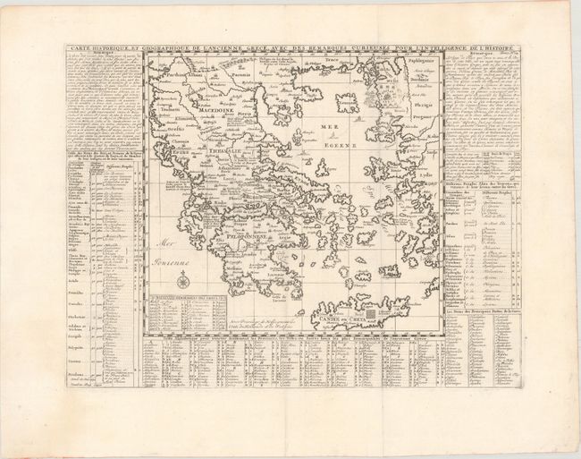
Subject: Greece

Period: 1720 (circa)

Publication: Atlas Historique

Color: Black & White

Size:
17.4 x 13.1 inches
44.2 x 33.3 cm
Download High Resolution Image
(or just click on image to launch the Zoom viewer)

This map of ancient Greece extends to show the western coastline of Turkey. The labyrinth of the Minotaur on Crete is prominently featured. A legend within the map lists the "memorable" battles of the Greeks, including the Battle of Troy, which is also described in the column of text at left. Surrounding the map are tables listing the kings of Greece and Troy, cities in Greece, the allies of Troy, and famous Greek poets.

References:

Condition: A

A nice impression issued folding on watermarked paper with a hint of offsetting.

Estimate: $100 - $130

Sold for: $75

Closed on 2/12/2020

Archived