Catalog Archive
Auction 176, Lot 507
"Carte Historique et Geographique pour Introduire a l'Intelligence de l'Histoire de Savoye, et a la Connoissance du Gouverment de cet Etat", Chatelain, Henry Abraham
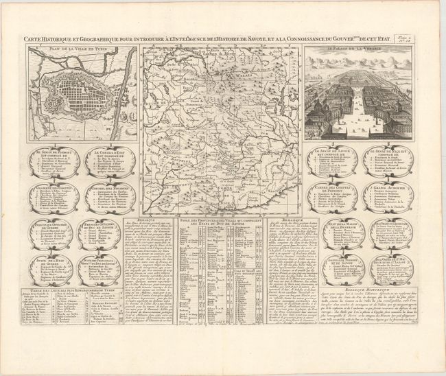
Subject: France, Switzerland & Italy
Period: 1720 (circa)
Publication: Atlas Historique
Color: Black & White
Size:
19 x 13.4 inches
48.3 x 34 cm
Download High Resolution Image
(or just click on image to launch the Zoom viewer)
(or just click on image to launch the Zoom viewer)