Catalog Archive
Auction 176, Lot 503

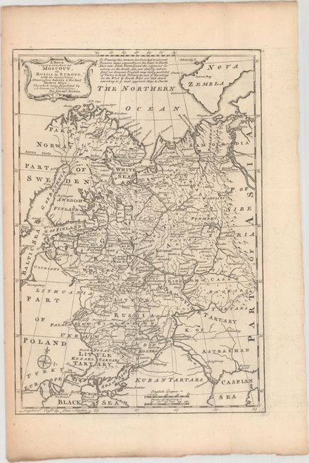
"A New & Accurate Map of Moscovy, of Russia in Europe, with its Acquisitions. Drawn from Surveys & the Best Modern Nams. The Whole Being Regulated by Astronomical Observations", Bowen, Emanuel

Subject: Russia in Europe

Period: 1766 (published)

Publication: The Maps and Charts to the Modern Part of the Universal History

Color: Black & White

Size:
8.5 x 12.4 inches
21.6 x 31.5 cm
Download High Resolution Image
(or just click on image to launch the Zoom viewer)

This finely engraved map of European Russia locates towns and cities, forests, mountains, rivers, roads, and more. Parts of the Baltic, Black, Caspian, and Barents (here Northern Ocean) seas are shown, as well as the Sea of Azov and the southern coast of Nova Zembla. A note at top refers to sources. There is a decorative title cartouche at top left and a compass rose at bottom left.

References: Shirley (BL Atlases) T.BOW-2d #4.

Condition: A

A nice impression with minor toning that is mostly confined to the blank margins.

Estimate: $160 - $200

Sold for: $60

Closed on 2/12/2020

Archived