Catalog Archive
Auction 176, Lot 462

"L'Empire d'Allemagne Divise en ses dix Cercle et Autres Estats...", Chiquet, Jacques

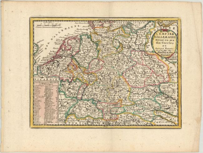
Subject: Central Europe, Germany

Period: 1719 (published)

Publication: Le Nouveau et Curieux Atlas Geographique et Historique

Color: Hand Color

Size:
8.8 x 6.4 inches
22.4 x 16.3 cm
Download High Resolution Image
(or just click on image to launch the Zoom viewer)

A delicately engraved small map of central Europe including Germany, Czechoslovakia, Poland, Switzerland, Austria and a portion of France and northern Italy. The kings and emperors from Charlemagne to Charles VI are noted in a panel at the lower left. The map is graced with a simple cartouche.

References: Mickwitz & Miekkavaara #43-12; Shirley (BL Atlases) T.MEN-1b.

Condition: A

A crisp impression on a bright sheet of watermarked paper with marginal soiling and creasing.

Estimate: $100 - $130

Sold for: $75

Closed on 2/12/2020

Archived