Catalog Archive
Auction 176, Lot 429

"Gallia Antiqua in Provincias et Populos Divisa, Geographicis Sansonum Conatibus et Recentioribus Astronomicis Observationibus Accommodata", Robert de Vaugondy, Gilles
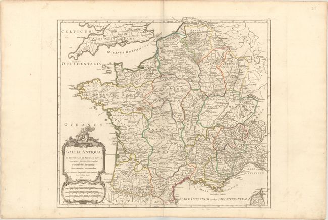
Subject: France

Period: 1750 (dated)

Publication: Atlas Universel

Color: Hand Color

Size:
21.5 x 19.2 inches
54.6 x 48.8 cm
Download High Resolution Image
(or just click on image to launch the Zoom viewer)

This finely engraved map illustrates ancient Gaul. The map incorporates most of France with Belgium, Luxembourg, Switzerland, and northwestern Italy. It shows the various tribes, towns, and ancient divisions of the region. It is embellished with a striking title cartouche that incorporates three distance scales. It was published in 1757 as part of the first edition.

References: Pedley #92.

Condition: B+

On watermarked paper with light soiling and minor offsetting.

Estimate: $100 - $130

Sold for: $75

Closed on 2/12/2020

Archived