Subject: France
Period: 1701 (circa)
Publication: A New Sett of Maps Both of Antient and Present Geography...
Color: Hand Color
Size:
19.8 x 14.4 inches
50.3 x 36.6 cm
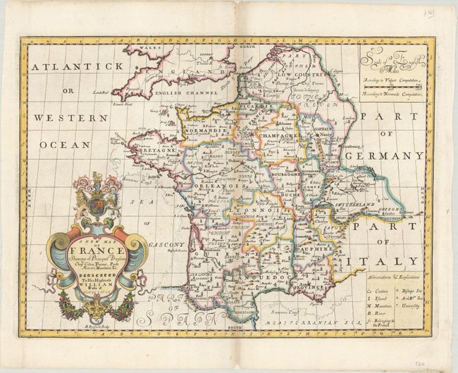
This boldly engraved map divides France into its historical provinces. Towns and cities are named, and there is some nice topographical detail. Wells has included lines sketched along the coastlines, labeled Sansons Coast that highlight the variations between this map and Sanson's map of the region. The ornate title cartouche includes a dedication to William, Duke of Gloucester and is adorned with the Royal Arms. At top right there is a scale of English miles "According to Vulgar Computation" and "According to Norwoods Computation." A key at bottom right explains the abbreviations used on the map.
References: Shirley (BL Atlases) T.WELL-1a #8.
Condition: B+
A dark impression with light toning along the centerfold, some printer's ink residue, and small chips in the top and bottom blank margins that have been archivally repaired.