Catalog Archive
Auction 176, Lot 426

"Paskaert van Cales tot Cadix", Keulen, Johannes van

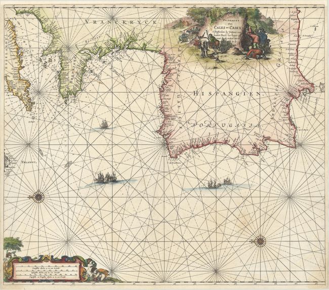
Subject: Western Europe

Period: 1680 (circa)

Publication: Zee-Atlas

Color: Hand Color

Size:
23.5 x 20.5 inches
59.7 x 52.1 cm
Download High Resolution Image
(or just click on image to launch the Zoom viewer)

Handsome sea chart covering the Atlantic coastline from the English Channel through the Strait of Gibraltar and Cabo de Gata. The map is oriented with north to the left by two compass roses and provides navigational information including safe anchorages, rocks, shoals, and soundings. It is adorned with two figurative cartouches.

References:

Condition: A

A crisp impression on a bright sheet with a few areas of very faint staining. Professionally remargined at top to accommodate framing.

Estimate: $900 - $1,100

Sold for: $600

Closed on 2/12/2020

Archived