Catalog Archive
Auction 176, Lot 424

"Belgii Veteris Typus ex Conatibus Geographicis Abrahami Ortelii", Jansson, Jan

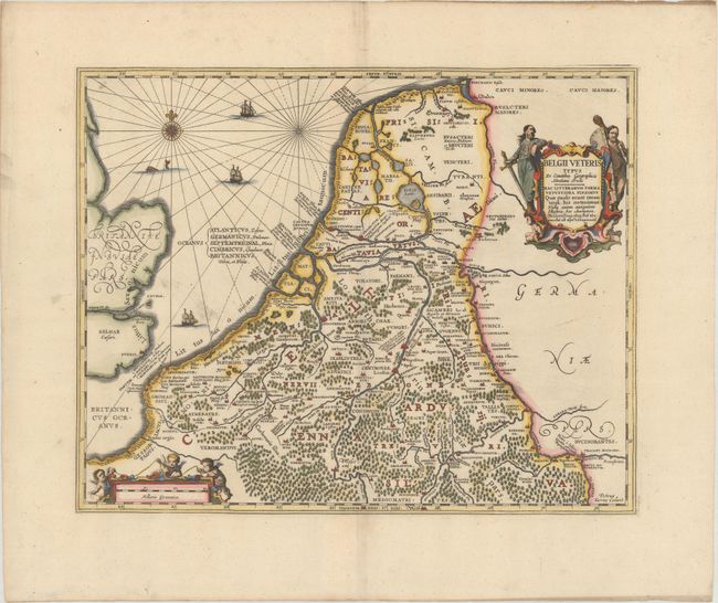
Subject: Low Countries

Period: 1741 (published)

Publication:

Color: Hand Color

Size:
18.8 x 15 inches
47.8 x 38.1 cm
Download High Resolution Image
(or just click on image to launch the Zoom viewer)

A fine map of this historic region based on the cartography of Ortelius. The map is decorated with a title cartouche flanked by tribesmen, a distance scale surrounded by cherubs, and three ships sailing in the North Sea, which is further embellished with a fine compass rose and rhumb lines. Engraved by Petrus Kaerius, with his imprint in the bottom right corner.

References: Van der Krogt (Vol. I) #3000H:1A.3.

Condition: A

A sharp impression on a bright sheet with a spot of printer's ink residue in the North Sea, wide margins, and some creasing along the left edge of the sheet.

Estimate: $240 - $300

Unsold

Closed on 2/12/2020

Archived