Catalog Archive
Auction 176, Lot 367

"Novissima Totius Europae in suos Principaliores Status Accurate Divisae Repraesentatio", Weigel, Christopher
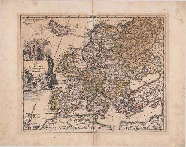
Subject: Europe

Period: 1720 (circa)

Publication:

Color: Hand Color

Size:
13.3 x 10.8 inches
33.8 x 27.4 cm
Download High Resolution Image
(or just click on image to launch the Zoom viewer)

Based on the cartography of Johann Baptist Homann, this map shows all of Europe, extending to Iceland and the coast of Greenland. An interesting Latin note on the amorphous, fictional island of Frisland mentions that the island has been completely submerged by the sea or else is just a myth. The fantastic cartouche features an emperor, putti, and Europa being abducted by Zeus in the form of a bull.

References:

Condition: B

Contemporary color with light, uneven toning, some separations along the centerfold that have been backed with archival materials, and light soiling mostly in the blank margins.

Estimate: $200 - $230

Sold for: $150

Closed on 2/12/2020

Archived