Catalog Archive
Auction 176, Lot 313

"An Accurate Map of the Caribby Islands, with the Crowns, &c. to Which They Severally Belong", Kitchin, Thomas

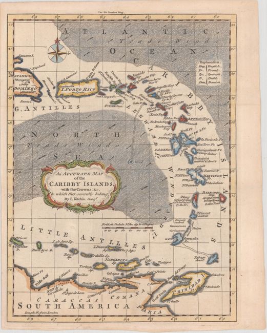
Subject: Lesser Antilles

Period: 1759 (published)

Publication: London Magazine

Color: Hand Color

Size:
7.1 x 9.5 inches
18 x 24.1 cm
Download High Resolution Image
(or just click on image to launch the Zoom viewer)

This handsome small map of the Lesser Antilles was created to identify the English, French, Spanish, Dutch and Danish possessions. The map extends from the eastern half of Hispaniola to Trinidad, and as far west as Curacao. Grenada is depicted in an odd crescent shape. The seas are filled with arrows representing the water currents. Published in the March 1759 issue.

References: Jolly #LOND-161; Sellers & Van Ee #1724.

Condition: A

Issued folding, now flattened on a clean, bright sheet.

Estimate: $160 - $190

Sold for: $170

Closed on 2/12/2020

Archived