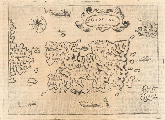
Subject: Puerto Rico
Period: 1713 (published)
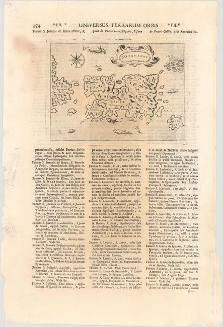
Publication: Universus Terrarum Orbis
Color: Black & White
Size:
5.5 x 4 inches
14 x 10.2 cm
This captivating map of the island of Puerto Rico is based on the cartography of Giacomo Gastaldi. S. Croce (St. Croix) and Le Vergini (Virgin Islands) are shown to the east of the island and part of Hispaniola is depicted to the west. The map was graphically engraved by Girolamo Porro, with a stipple engraved sea embellished with a variety of sea monsters, a compass rose, and the title cartouche. San Giovanni (San Juan) is the name that Christopher Columbus originally gave the island, honoring John the Baptist. This map first appeared in one of the most famous Isolarios (Island Books) produced in the 16th century, Tomaso Porcacchi's L'Isole piu Famose del Mondo, which appeared in seven editions between 1572-1686. The plates were then used by Alphonsus Lasor a Varea for his Universus Terrarum Orbis in 1713. Lasor a Varea, whose real name was Raffaello Savonarola, published his two-volume scriptural and historical dictionary with nearly 500 maps that were taken from old plates by Valegio, Porcacchi, Rosaccio-Franco, and Magini, many of which were more than a century old, and often reworked.
References: Shirley (BL Atlases) T.LAS-1a #187.
Condition: B+
There is light uneven toning and a number of short edge tears in the blank margins have been closed with archival tape on verso.