Subject: Virginia
Period: 1930 (dated)
Publication:
Color: Printed Color
Size:
31.9 x 23.5 inches
81 x 59.7 cm
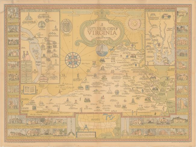
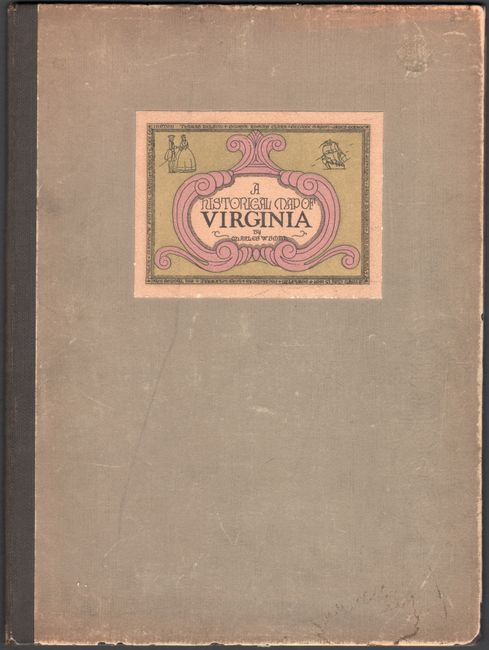
This charming pictorial map of Virginia was created by Charles Smith, an artist turned pictorial cartographer. It includes no modern map details, but instead focuses on the rich history of the state. Numerous illustrations fill the map showing landmarks, notable individuals, natural features, and historical notes. Features insets of "Old Richmond" and of Virginia's four major rivers that empty into the Chesapeake Bay. Surrounding the main map image are vignettes of important buildings across the state including Monticello, Ash Lawn, and Mount Vernon to name a few. Further decorated by an elaborate 16-point compass rose, the state seal, and a rather clunky strapwork title cartouche. This is a limited edition of the map (500 copies) that was bound in large cloth covers (9.5 x 12.7") with title label on the front cover.
References:
Condition: B
Issued folding with light toning and numerous fold separations that have been professionally closed on verso with archival tissue. A small chip at top left has also been skillfully reattached on verso. The map is loose but accompanied by its original covers, which have light wear and soiling.