Catalog Archive
Auction 176, Lot 247

"A Diagram of Oregon", U.S. State Surveys
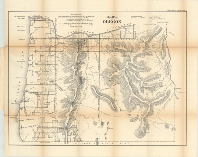
Subject: Oregon

Period: 1861 (dated)

Publication: Sen. Ex. Doc. No. 1, 37th Congress, 2nd Session

Color: Black & White

Size:
22.9 x 17.3 inches
58.2 x 43.9 cm
Download High Resolution Image
(or just click on image to launch the Zoom viewer)

A detailed map created at the land office in Eugene City. It shows topographical information in hachure, watersheds, and the progress of surveying. Eugene City, Oregon City, Port Orford, Portland are named. Trails and roads shown include the Proposed Emigrant Route, Meeks Trail, Trail to Powder River, Capt. Wallens Route, and more. Just across the Snake River is Fort Boise. Signed in the plate by B. J. Pengra, Surveyor General of Oregon.

References:

Condition: B+

Issued folding with light toning along the fold lines and a few short splits at the fold junctions.

Estimate: $140 - $170

Sold for: $75

Closed on 2/12/2020

Archived