Subject: New York
Period: 1824 (circa)
Publication:
Color: Hand Color
Size:
21.3 x 16.9 inches
54.1 x 42.9 cm
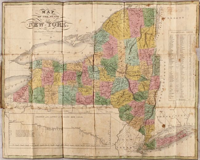
Finely's maps employ a delicate and elegant engraving style and provided extensive topographical and watershed information. He was the dominant map maker in the United States in the early 1820s into the 1830s. His atlases were very successful, outselling rival atlases by Carey & Lea, and Tanner. His maps were printed on high quality paper and were routinely corrected and updated.
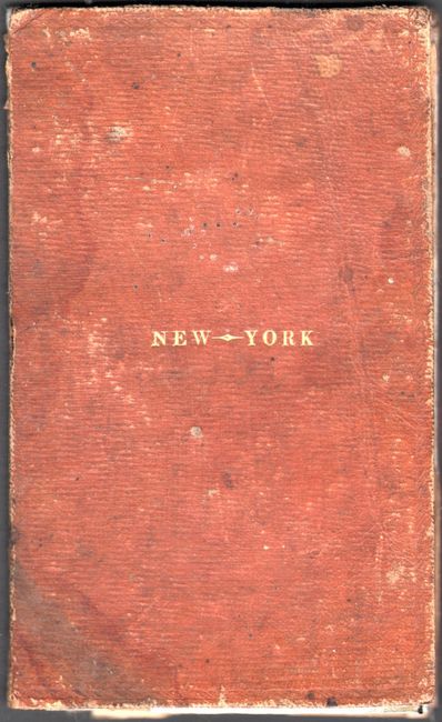
This scare pocket map presents the counties of New York with the recently completed Erie Canal depicted from Albany to Lake Erie in a large inset. County development is current to 1824, with the newly organized Orleans County. A statistical table at right lists the population, county seat, area in square miles, and distance from Albany of each county. The statistical table is based on 1820 data, so Orleans County is not listed. Map folds into original brown leather covers (3.5 x 5.7") with gilt-stamped title.
References:
Condition: B
Issued folding on bank-note style paper with full contemporary color and some short separations that have been archivally repaired. There is light toning and foxing, several darker stains at far right, and a bit of show through of a previous owner's stamps on verso. Trimmed to the neatlines, as issued, with a chip in the border at right.