Subject: Maine
Period: 1838-80 (circa)
Publication:
Color:
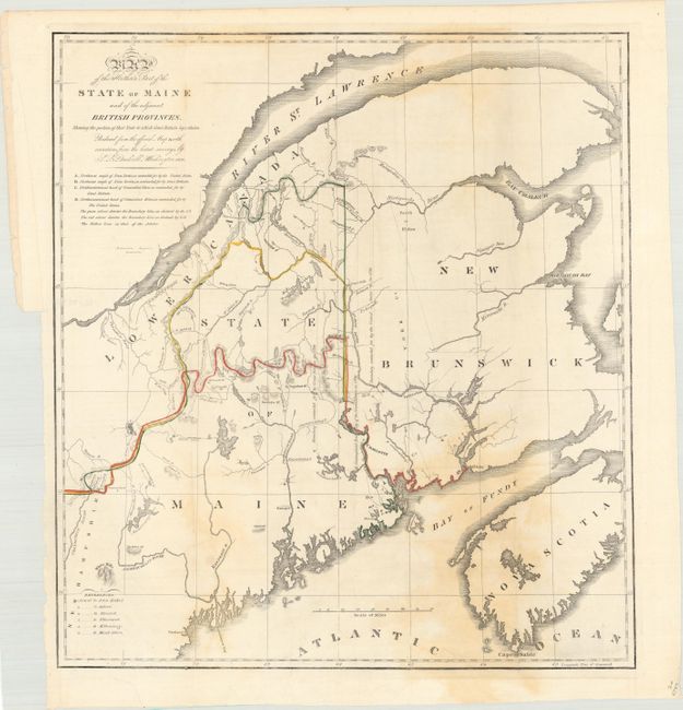
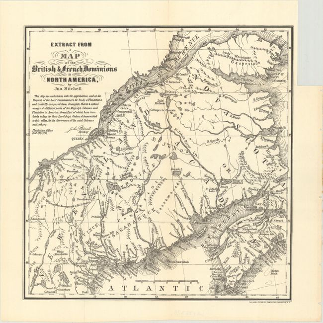
The first map details the boundary dispute between the United States and Great Britain relating to Maine. Hand coloring is used to show the boundary as claimed by the United States and by Great Britain, with a third line labeled "that of the Arbiter" which closely corresponds to Maine's present-day border with Canada. A table gives the major points of contention in this border dispute. Another table names land grants belonging to six land holders. The second map is a later edition of one that was included in the same Senate report for historical purposes. It was extracted from Mitchell's map of 1755 and lithographed by Norris Peters.
A. Map of the Northern Part of the State of Maine and of the Adjacent British Provinces, Shewing the Portion of That State to Which Great Britain Lays Claim..., by S.L. Dashiell, published 1838, hand color (15.6 x 17.3"). Condition: There is some light staining that is more prominent at lower right. (B)
B. Extract from a Map of the British & French Dominions in North America, by Norris Peters, circa 1880, black & white (9.4 x 9.6"). Condition: Clean and bright. (A)
References: Claussen & Friis #219 & cf. #220; Phillips (Maps) p. 384.
Condition:
Issued folding. See description above for additional details.