Subject: References, Virginia
Period: 1983-2000 (published)
Publication:
Color:
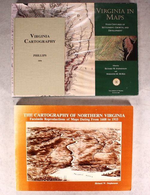
A. Virginia in Maps - Four Centuries of Settlement, Growth, and Development, by Richard W. Stephenson and Marianne M. McKee, published 2000, printed color (15.4 x 11.4"). Published by the Library of Virginia, this comprehensive reference work chronicles the discovery, settlement, growth, and development of Virginia. It includes full color reproductions of 187 important maps. An indispensable reference work for collectors of Virginia maps. 335 pp. Hardbound in green buckram with gilt titling on cover and spine. Full-color printed dust jacket. Condition: There are large but faint damp stains on the cover and dust jacket that barely appear on the opening page of the book. Text is very good with slight warping from moisture. (B+)
B. Virginia Cartography - A Bibliographical Description, by P. Lee Phillips, published 1995, black & white (6.1 x 9.3"). Originally published by the Smithsonian Institution in 1896, this is a reprint of Phillips' book, with an introduction by F.J. Manasek. This bibliographic monograph contains lengthy descriptions of some 200 maps of Virginia, one of the earliest Europeanized regions of America. The list begins with White's map of 1585 and ends with the Rand McNally map of 1893. 85 pages, hardbound in beige cloth. Condition: Like new. (A+)
C. The Cartography of Northern Virginia - Facsimile Reproductions of Maps Dating from 1608 to 1915, by Richard W. Stephenson, published 1983, black & white (14.9 x 11.0"). This superb reference, published by the History and Archaeology Section Office of Comprehensive Planning in Fairfax, Virginia, catalogs 122 black and white plates depicting Northern Virginia. Beginning with John Smith's 1608 map of Virginia and culminating with a 1915 U.S.G.S. topographic map of Fairfax County, this reference spans more than 300 years of mapping the region. Selected by Richard W. Stephenson, who also wrote the informative introduction. Paperback with illustrated covers. 145 pp. Condition: Contents are clean. The spine is heavily sunned, and there is minor shelf wear to the covers. There is a blank adhesive on the back cover. (B+)
References:
Condition:
See description above.