Catalog Archive
Auction 175, Lot 696

NO RESERVE - An Indispensable Reference on the Mapping of Panama & Columbia

"[Lot of 2] The Early Maps of Panama Up to 1865 [and] The Early Maps of Colombia Up to 1825", Kapp, Kit S.

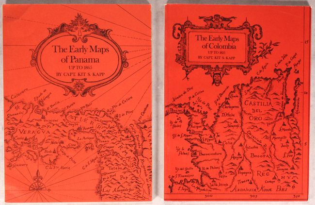
Subject: References, Panama, Colombia

Period: 1971 (published)

Publication:

Color: Black & White

Size:
7.3 x 9.7 inches
18.5 x 24.6 cm
Download High Resolution Image
(or just click on image to launch the Zoom viewer)

These are reprints of Captain Kit S. Kapp's Map Collector's Circle #73 and #77. Both volumes feature an introduction, preface, historical chronology, and black & white illustrations. The volume on Panama lists 125 maps spanning from 1581 to 1865; the Colombia volume includes 170 maps published between 1581 and 1856. Bright red illustrated soft covers. Early Maps of Panama: 31 pp. plus 16 b&w plates; Early Maps of Colombia: 32 pp. plus 10 b&w plates.

Captain Kit S. Kapp was a ship captain who explored the Caribbean, Central America, and northern South America. Kapp collected many things during his lifetime, and his favorite collection was of antique maps. He eventually turned his map collection into a business, buying and selling maps all over the world. Kapp's love of maps also led him to become a cartographer and he published 8 sailing charts of the waters around Honduras, Panama, Colombia, Venezuela, and the British Virgin Islands. To read the full story of Captain Kapp's life, please read the article from our January 2015 newsletter.

References:

Condition: B+

Contents are very good. There is minor to light soiling on the back covers and some minor wear along the edges.

Estimate: $90 - $120

Sold for: $75

Closed on 11/13/2019

Archived