Subject: Atlases
Period: 1889 (published)
Publication:
Color: Printed Color
Size:
13.6 x 17.9 inches
34.5 x 45.5 cm
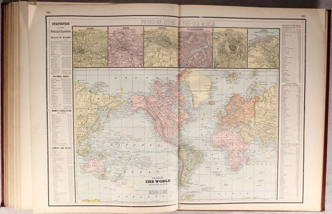
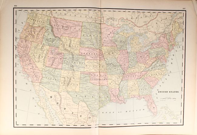
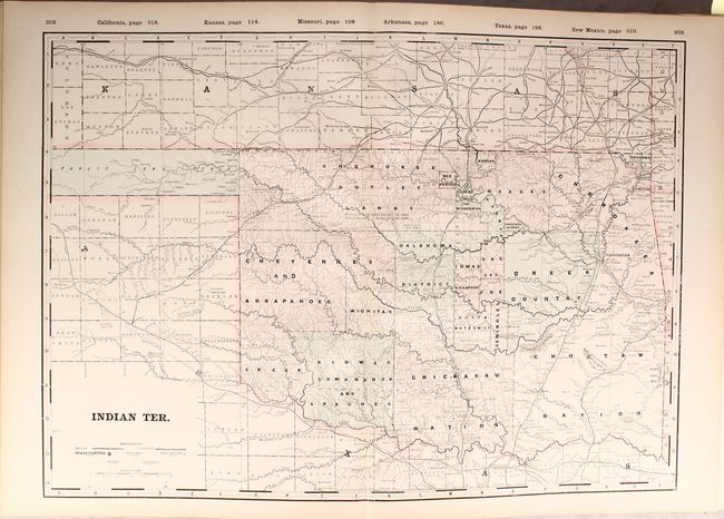
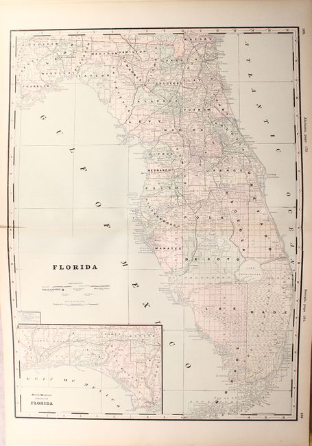
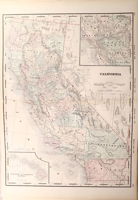
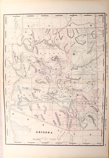
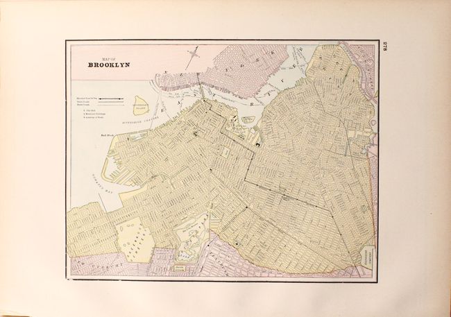
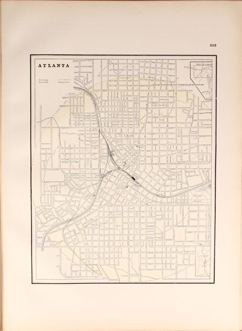
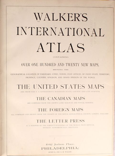
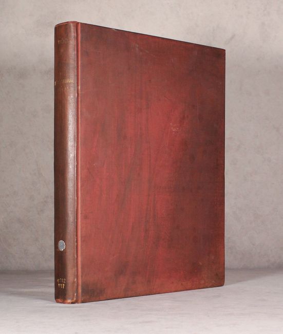
This large atlas contains 52 singe-page and 78 double-page maps of the world. Many of the maps are hand colored, some are printed color, and others contain both methods reflecting a transitional time period when printers used plates made by different processes. Also unusual for this late date is the fact that the maps are tipped in with blank versos, indicating a higher quality publication. There are 82 maps focused on the United States including 59 that are double-page, and each is preceded by an introductory page including a list of railroads, counties, and an index to towns and cities. The atlas also features numerous city plans including cities not typically seen such as Atlanta, Brooklyn, Columbus, Detroit, Memphis, Richmond, Portland, and more. Following the maps is "Curiosities of Statistics or Valuable Facts for the People" and a Patron's Directory. 390 total pages, A.E.G. Hardbound in red cloth with gilt tile on spine.
References:
Condition: A
The maps are clean, bright and near fine to fine with no tears or separations. Library stamps on title page, front pastedown, and a few other pages, with a withdrawn stamp on the pastedown. Covers are soiled with bumped edges.