Subject: Atlases, Ancient World
Period: 1855 (published)
Publication:
Color: Hand Color
Size:
15.7 x 22.9 inches
39.9 x 58.2 cm
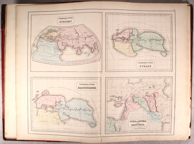
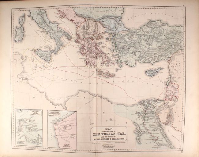
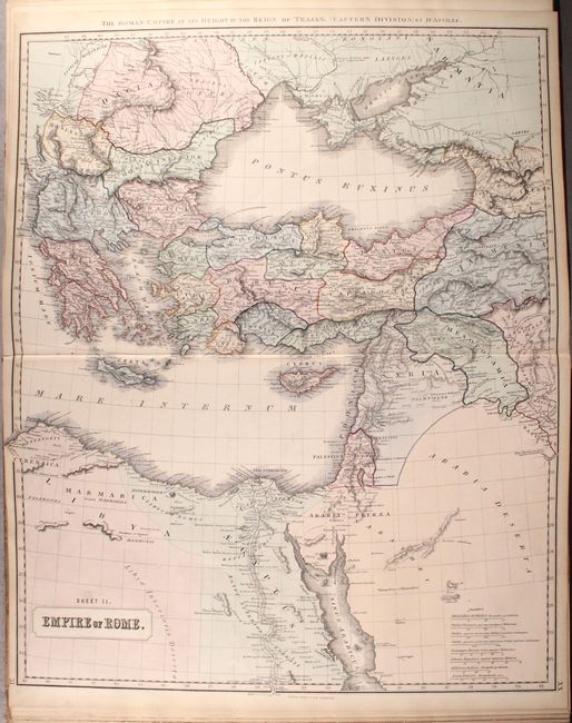
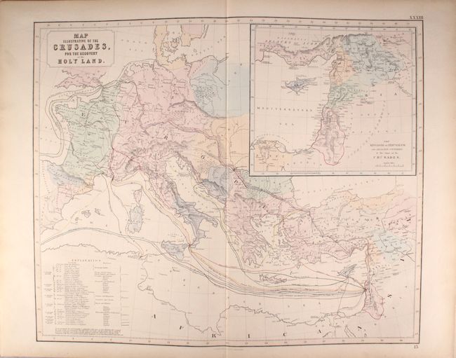
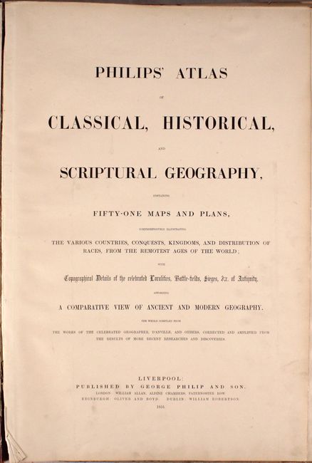
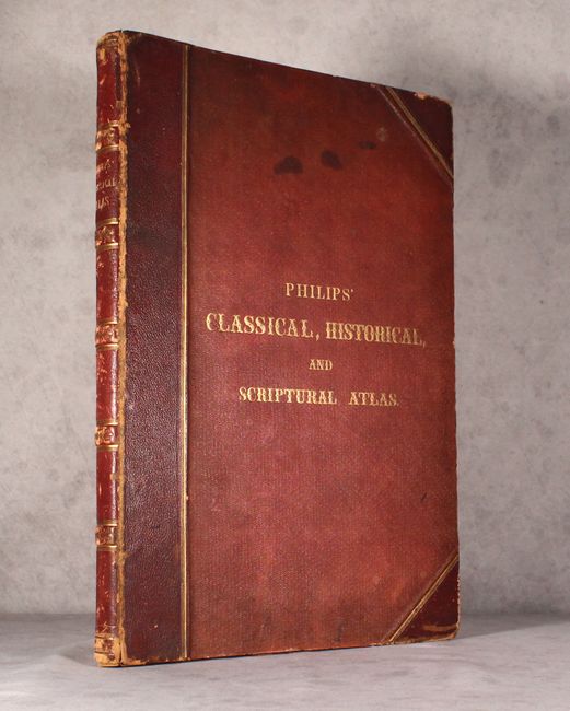
This complete atlas contains 51 maps depicting the ancient world during various periods throughout history. The geographical systems of Ptolemy, Eratosthenes, and Strabo are shown, as well as the world according to Homer and Herodotus. Numerous ancient empires, expeditions and battle plans are also depicted, including a map illustrating the Trojan War. Published by George Philip and Son in Liverpool. Complete with two title pages, table of contents, and 51 maps on 36 double-page sheets. Elephant Folio. Hardbound in original red cloth with quarter calf spine and tips, gilt titling on cover and spine, gilt fore-edges, and marbled end papers.
This atlas has a bonus map tucked inside: James Wyld's Map of the Ottoman Empire the Black Sea and the Frontiers of Russia and Persia, dated 1853. This map is backed in linen and was inserted loose into the back of the atlas.
References:
Condition: B+
The maps are clean and bright with original hand color and light toning mostly confined to the edges of the sheets. A third of the sheets have short centerfold separations or tears at bottom, and sheet XXXV has extraneous creasing adjacent to the centerfold. The front hinge is perished. The spine and covers are worn with stains, abrasions, and bumped corners.