Catalog Archive
Auction 175, Lot 564

"Imperii Persici Delineatio ex Scriptis Geographicis Arabum et Persarum Tentata ab Hadr. Relando", Weigel, Christopher

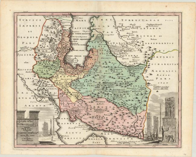
Subject: Persia - Iran

Period: 1720 (circa)

Publication:

Color: Hand Color

Size:
16.1 x 13.1 inches
40.9 x 33.3 cm
Download High Resolution Image
(or just click on image to launch the Zoom viewer)

This lovely map of the Persian Empire includes present-day Iran, Armenia, Azerbaijan, and Turkmenistan. Two vignettes depict the ruins of the ancient city of Persepolis. The map is filled with detail of towns, mountains, rivers and political boundaries.

References:

Condition: B+

A sharp impression with full contemporary color on a bright sheet with a light damp stain along the centerfold at top and a centerfold separation that just passes the neatline at bottom.

Estimate: $240 - $300

Sold for: $150

Closed on 11/13/2019

Archived