Catalog Archive
Auction 175, Lot 544

"Carte de l'Orient pour la Concorde de la Geographie des Differens Ages",

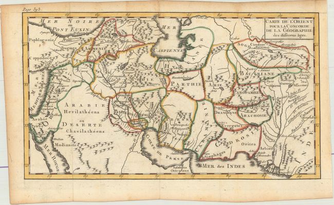
Subject: Middle East

Period: 1765 (circa)

Publication: Concorde de la Geographie des Differens Ages

Color: Hand Color

Size:
9.8 x 5.5 inches
24.9 x 14 cm
Download High Resolution Image
(or just click on image to launch the Zoom viewer)

This map is bounded by the Mediterranean Sea, the Red Sea, the Caspian Sea and the Indus River. It is divided into regions and notes major cities and rivers. Published in Antoine Pluche's Concorde de la Geographie des Differens Ages.

References:

Condition: A

Issued folding on watermarked paper with a couple of small spots and light toning along the edges of the sheet.

Estimate: $80 - $100

Sold for: $50

Closed on 11/13/2019

Archived