Catalog Archive
Auction 175, Lot 443

"Map of the Germanic Confederated States, Including the Kingdoms of Prussia, and the Empire of Germany", Wyld, James

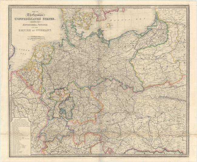
Subject: Central Europe

Period: 1840 (circa)

Publication:

Color: Hand Color

Size:
29.6 x 25.1 inches
75.2 x 63.8 cm
Download High Resolution Image
(or just click on image to launch the Zoom viewer)

Very detailed, large map of Central Europe covering from the North Sea and the Baltic Sea in the north and the Gulf of Venice in the south. Filled with information on the roads, railways and political boundaries. A table at bottom left lists the states comprising the Germanic Confederation. Printed on two joined sheets, as issued.

References:

Condition: B+

Contemporary color with light toning along the folds and a few short worm tracks along the central fold.

Estimate: $140 - $170

Sold for: $100

Closed on 11/13/2019

Archived