Subject: Cartographic Puzzles
Period: 1884 (circa)
Publication:
Color: Hand Color
Size:
18.5 x 11.2 inches
47 x 28.4 cm
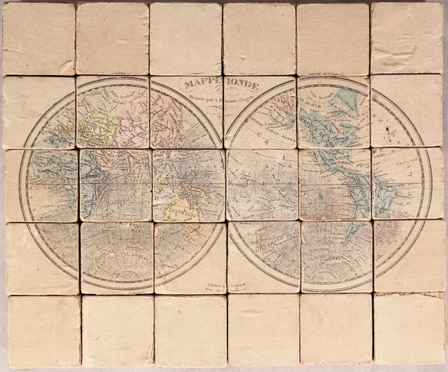
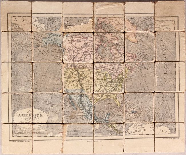
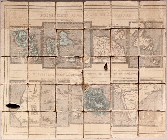
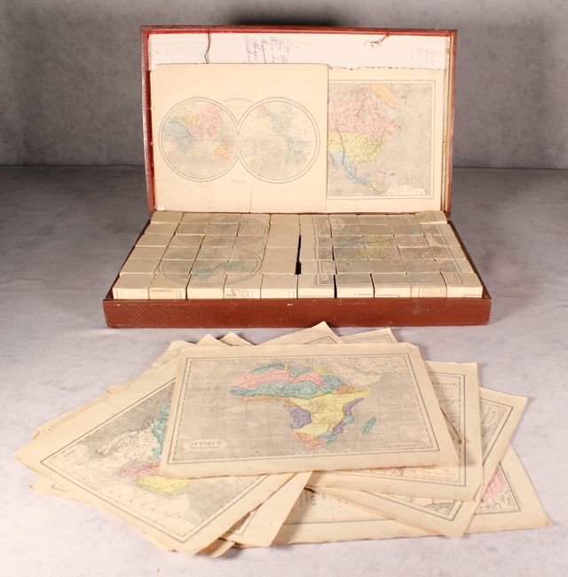
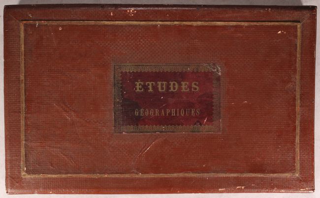
Housed inside their original wooden box are two sets of puzzle cubes, each consisting of 30 pieces. Together they produce 12 different maps including the world, North America, Africa, Asia, Australia, and Europe. Also included are maps of French colonial possessions, Germany, and Russia. Getting the puzzles in the correct order is no easy task and reminds one of working with a Rubik's Cube. Includes the original 12 guide maps to assist in assembly. Correctly arranged, the cubes make the following maps, each measuring approximately 10.4 x 8.7":
A. Amerique du Nord.
B. Mappemonde.
C. Afrique.
D. Asie.
E. Oceanie.
F. Europe et ses Chemins de Fer.
G. Possessions Francaises en Amerique [on sheet with] Possessions Francaises en Afrique, en Asie et en Oceanie.
H. Carte du Tonkin (Tong-Kin) Dressee a Hai-Phong.
I. Russie et Pologne.
J. Allemagne.
K. France et ses Chemins de Fer.
L. Carte Physique de la France.
An uncommon cartographic curiosity that has survived fairly well given its purpose as a game.
References:
Condition: B
The puzzle pieces have light soiling and abrasions from use. Many of the cubes have light to moderate paper loss, and two of the cubes have been punctured. Guide maps are good to very good with long tears to the world and France maps. Wooden box is sound with typical chips and abrasions.