Catalog Archive
Auction 175, Lot 408

"Flandriae Pars Occidentalis Continens", Jansson, Jan

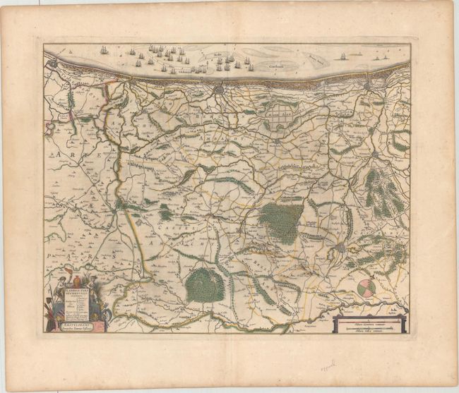
Subject: Northern France & Western Belgium

Period: 1652 (circa)

Publication: Nouvel Atlas

Color: Hand Color

Size:
19.1 x 15.1 inches
48.5 x 38.4 cm
Download High Resolution Image
(or just click on image to launch the Zoom viewer)

This copper engraved map covers the coastline from Calais to Dunkirk to Nieuwpoort and inland to Armentiers. The map is fully engraved to show forests, roads and canals, and hundreds of tiny villages. Figures, farm implements, and weaponry surround the title cartouche, and the sea is filled with a large fleet of sailing ships. French text on verso, published between 1652-58.

References: Van der Krogt (Vol. I) #3201:1.2.

Condition: A

A crisp impression with contemporary color. There are some minor spots and printer's ink residue.

Estimate: $240 - $300

Sold for: $120

Closed on 11/13/2019

Archived