Catalog Archive
Auction 175, Lot 385

"Carte du Spits-Berg Suivant les Hollandois", Bellin, Jacques Nicolas

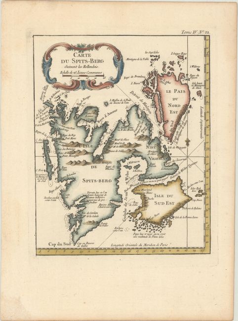
Subject: Spitsbergen, Norway

Period: 1764 (circa)

Publication: Le Petit Atlas Maritime

Color: Hand Color

Size:
6.9 x 8.6 inches
17.5 x 21.8 cm
Download High Resolution Image
(or just click on image to launch the Zoom viewer)

Copper engraved map of Spitsbergen (Svalbard) with the adjacent islands of Franz Josef Land and Jan Mayan. There is good detail of the rocks, shoals, regions of ice, and anchorages with notations throughout. A French-style decorative title cartouche, fleur-de-lis, and rhumb lines complete the chart.

References:

Condition: A

Excellent impression with minor toning along the edges of the sheet.

Estimate: $90 - $110

Sold for: $230

Closed on 11/13/2019

Archived