Subject: Europe
Period: 1770-1810 (circa)
Publication:
Color: Hand Color
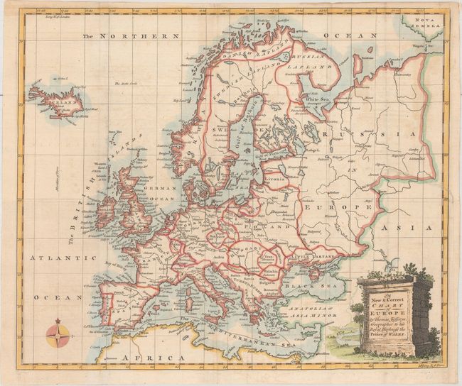
A. A New & Correct Chart of Europe, by Thomas Jefferys, circa 1770 (14.6 x 12.3"). This map of the continent extends to include Iceland and Nova Zembla in the north, and portions of Africa and Asia to the south and east. Detail includes the river systems and larger cities. Decorated by a plinth title cartouche. Reference: Jolly #GENT-99. Condition: Issued folding with a 2.5" edge tear at right that has been closed on verso with archival materials and light offsetting. (B+)
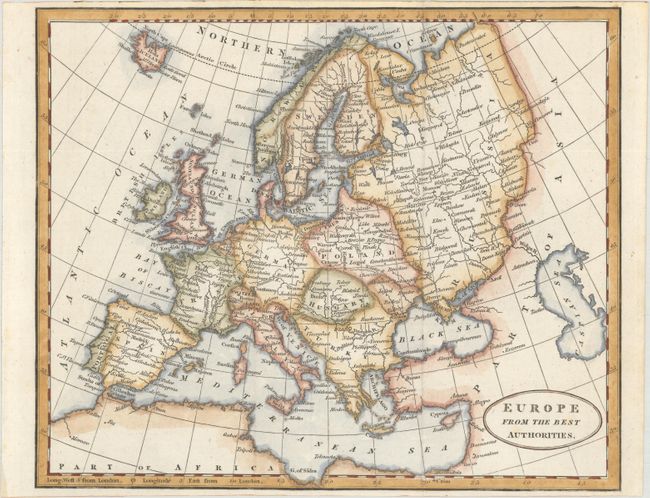
B. Europe from the Best Authorities, by Richard Brookes, circa 1810 (9.4 x 7.8"). An attractive small map of Europe locating major cities and depicting both topography and drainage. Extends to the Caspian Sea in the east and northern Africa in the south. Condition: Issued folding on a clean sheet. (A)
References:
Condition:
See description.