Catalog Archive
Auction 175, Lot 345

"Carte Reduite de l'Ocean Occidental, Contenant les Cotes Occidentales de l'Europe et de l'Afrique, et les Cotes Orientales de l'Amerique...", Desnos, Louis Charles

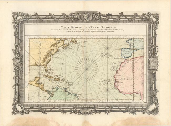
Subject: North Atlantic

Period: 1761 (circa)

Publication:

Color: Hand Color

Size:
21.3 x 15.3 inches
54.1 x 38.9 cm
Download High Resolution Image
(or just click on image to launch the Zoom viewer)

This beautifully engraved chart shows the Atlantic Ocean north of the equator with rhumb lines radiating throughout. A good portion of each of the continents is shown with major cities identified, including Boston, Philadelphia and New Orleans. In North America the Appalachian Mountains are depicted extending south to Florida and the colonies of Carolina, Virginia, New York, and New England are named. The chart is surrounded in an elaborate, rococo border, embellished with navigation instruments. Engraved by Le Roy.

References:

Condition: B+

On watermarked paper with faint toning along the upper centerfold and dampstains confined to the bottom blank margin.

Estimate: $350 - $425

Sold for: $200

Closed on 11/13/2019

Archived