Catalog Archive
Auction 175, Lot 309

"[Northern Sheet] Karte von Sud-America Verfasst von Herrn d'Anville Geographen des Konigs von Frankreich", Schraembl, Franz Anton

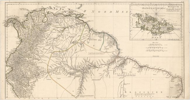
Subject: Northern South America

Period: 1786 (circa)

Publication: Allgemeiner Grosser Atlass

Color: Hand Color

Size:
30.7 x 16.3 inches
78 x 41.4 cm
Download High Resolution Image
(or just click on image to launch the Zoom viewer)

This is the northern sheet of Schraembl's massive three-sheet map of the continent. Based on d'Anville's map of 1748, the map includes large blank areas where geographical knowledge was scare or nonexistent, reflecting d'Anville's commitment to scientific cartography. Despite the mapmaker's dedication to accuracy, the mythical Parima See appears. There is excellent topographical detail and plenty of place names, much of it concentrated along the coast and the Amazon and its tributaries. In the blank areas, there are several interesting notes on the landscape in German text. An inset at top right focuses on the Falkland Islands.

References:

Condition: A

A crisp impression on watermarked paper with a couple of rust spots and some minor soiling at bottom right.

Estimate: $160 - $190

Sold for: $120

Closed on 11/13/2019

Archived