Catalog Archive
Auction 175, Lot 300

"Guadaloupe to France [on sheet with] Marie Galante to France [and] Antigua to Britain", Philip, George

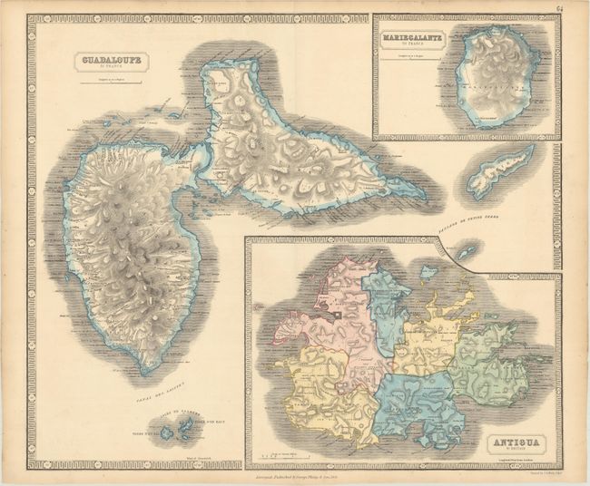
Subject: Guadeloupe & Antigua

Period: 1851 (dated)

Publication: The Philips New General Atlas

Color: Hand Color

Size:
23.5 x 20 inches
59.7 x 50.8 cm
Download High Resolution Image
(or just click on image to launch the Zoom viewer)

This sheet contains three handsome maps showing the Leeward Islands of Guadeloupe, Marie-Galante and Antigua. The maps of Guadeloupe and Marie-Galante show excellent topographical detail of these mountainous islands. Antigua is divided into six parishes with plenty of settlements and churches named. Surrounded in a keyboard-style border.

References:

Condition: A

Light toning along the edges of the sheet.

Estimate: $100 - $130

Sold for: $75

Closed on 11/13/2019

Archived