Catalog Archive
Auction 175, Lot 292

"Carte de l'Isle de Saint Domingue Dressee en 1722 pour l'Usage du Roy sur les Memoires de Mr. Frezier Ingenieur de S. M. et Autres...", Delisle, Guillaume
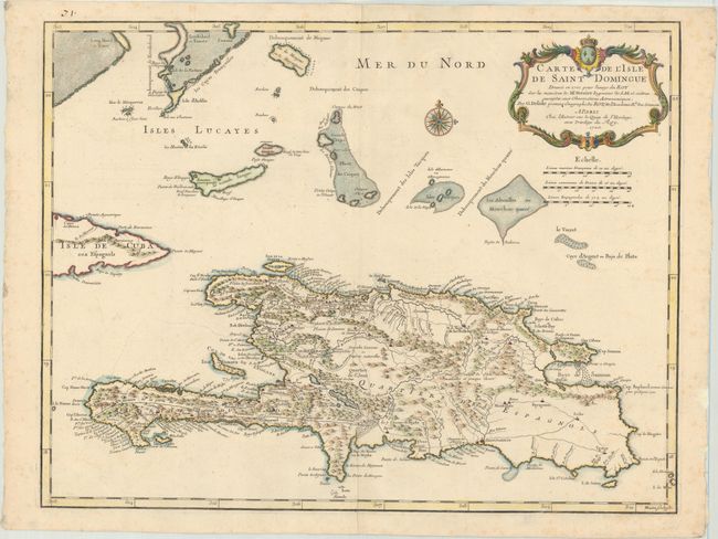
Subject: Hispaniola

Period: 1725 (dated)

Publication:

Color: Hand Color

Size:
24.5 x 18.8 inches
62.2 x 47.8 cm
Download High Resolution Image
(or just click on image to launch the Zoom viewer)

This is an important map of Hispaniola and the Turks & Caicos Islands as it was one of the first to depict the island's true contours following Frezier's important map of the island. The chart provides excellent detail of the mountains, roads, towns, ports, plantations, sugar works and navigational hazards. Decorated with a large title cartouche. Although the title indicates that the map was created in 1722, it was first published in 1725. This is the second state with "Mars" (March) removed from the date. Engraved by Marin.

References: Rumsey #4764.100; Tooley (MCC-33) #59.

Condition: B+

A crisp impression on a bright sheet with a Society of Jesuits watermark, faint foxing, and some creasing along the centerfold at top and bottom.

Estimate: $275 - $350

Sold for: $200

Closed on 11/13/2019

Archived