Subject: San Antonio, Texas
Period: 1924-41 (circa)
Publication:
Color:
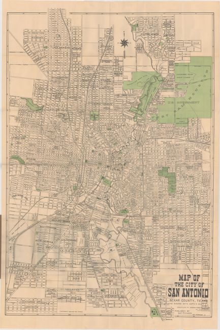
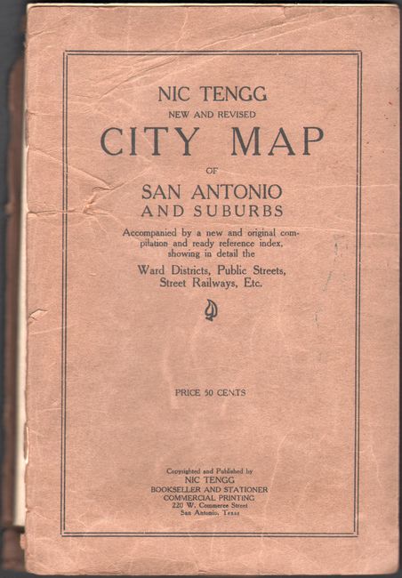
A. Map of the City of San Antonio Bexar County, Texas. Including Suburbs Both North and South, by Nic Tengg, dated 1924, printed color (24.8 x 37.1"). A detailed map of the city that based upon the records of the City Engineer, G.A. Fischer. Shows the street grid pattern, roads, railroads, parks, cemeteries, and a large Fort Sam Houston at top. Includes a 19 page street index. Folds into brown paper wrappers (5.0 x 7.7"). Only one institutional copy located at the Library of Congress per OCLC. Condition: There are a number of small splits at the fold junctions that have been mostly repaired, and a 8" tear at center that has been closed on verso with archival tape. The front wrapper with index has separated from the map, which is still adhered to the back wrapper. (B)
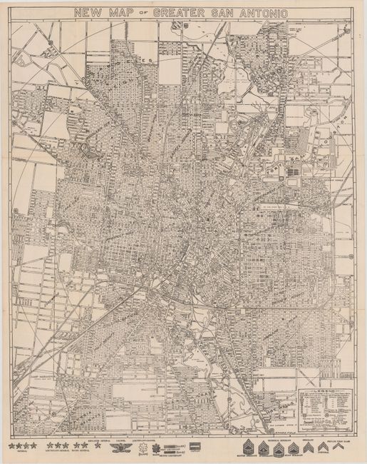
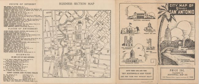
B. New Map of Greater San Antonio, by Southwell Map Co., circa 1941, black & white (18.2 x 22.3"). A very detailed map identifying both public and Catholic schools, neighborhoods, and many places of interest, particularly related to the military. Verso contains an index and business section map. Circa date is inferred from text indicating the new airport was under construction, which was put into service in 1942. With an interesting “Buy War Bonds Today” appeal to preserve “Liberty and Christianity" on verso. Condition: On a bright sheet with a few small fold separations. (B+)
References:
Condition:
Issued folding. See description above for additional details.