Catalog Archive
Auction 175, Lot 225

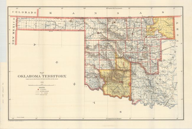
"Map of Oklahoma Territory. Compiled from the Official Records of the General Land Office and Other Sources", General Land Office

Subject: Oklahoma

Period: 1898 (dated)

Publication:

Color: Printed Color

Size:
21.9 x 14.2 inches
55.6 x 36.1 cm
Download High Resolution Image
(or just click on image to launch the Zoom viewer)

A good map of the western part of the present state of Oklahoma that also includes a portion of the steadily shrinking Indian Territory. The lands of the Kiowa, Comanche, and Apache are depicted in yellow at the bottom; at the top, tribal holdings of the Osage, Ponca, Kansas, Otoe, and Missouri are also colored yellow. Army posts are marked in red -- Ft. Sill, Ft. Reno and the Wood Res. Railroads, public roads, and trails are identified by symbols shown in the legend. Land Offices are located at Woodward, Alva, Enid, Perry, Guthrie, Kingfisher, Oklahoma City, and Mangum.

References:

Condition: A

Issued folding with a binding trim at upper left.

Estimate: $100 - $130

Sold for: $130

Closed on 11/13/2019

Archived