Catalog Archive
Auction 175, Lot 187

"Florida", Mitchell, Samuel Augustus
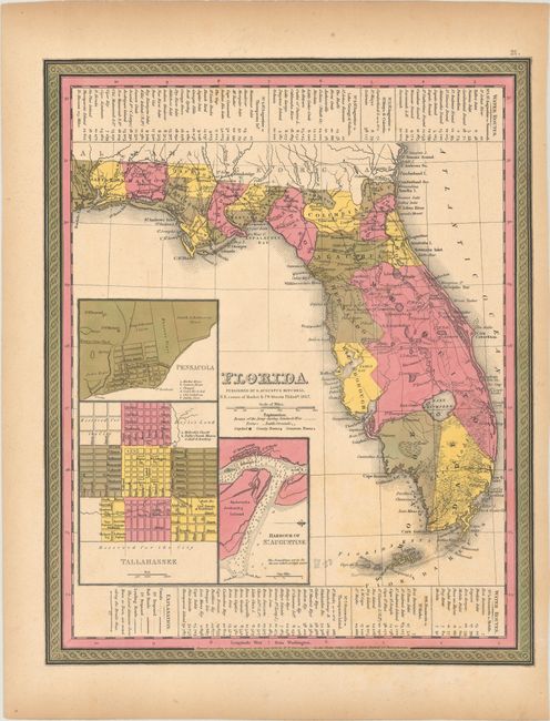
Subject: Florida

Period: 1846 (dated)

Publication: A New Universal Atlas...

Color: Hand Color

Size:
11.6 x 14.4 inches
29.5 x 36.6 cm
Download High Resolution Image
(or just click on image to launch the Zoom viewer)

This is a revised edition of Tanner's map of Florida showing towns, railroads, forts, roads, canals, major rivers, and lakes. There are references to forts, battlefields, and routes used by the Army during the Seminole War. There are also three inset maps detailing Pensacola, Tallahassee, and St. Augustine. The map reflects the configuration of counties in 1843, although Mosquito County is far too large. Water routes from St. Augustine and Pensacola to various ports are described along the upper and lower margins. Printed by H.N. Burroughs.

References:

Condition: B+

Light toning.

Estimate: $160 - $190

Sold for: $120

Closed on 11/13/2019

Archived