Subject: Los Angeles, California
Period: 1956 (dated)
Publication:
Color: Printed Color
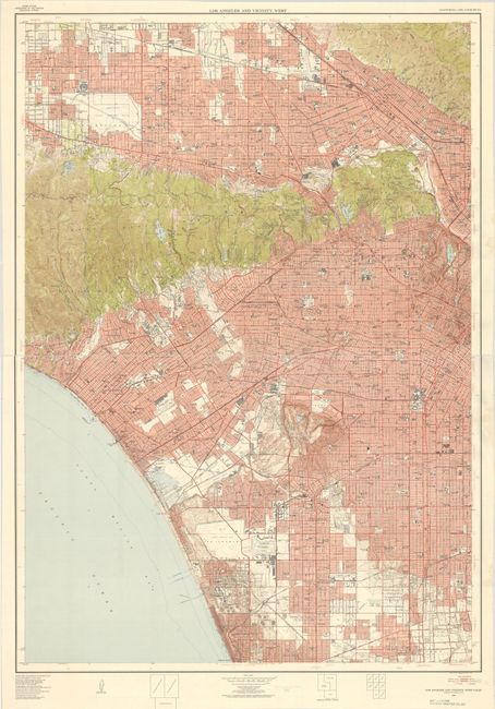
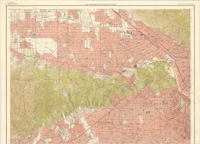
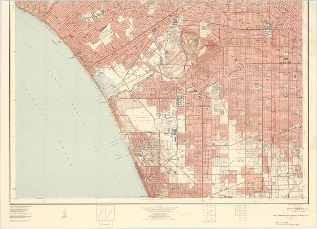
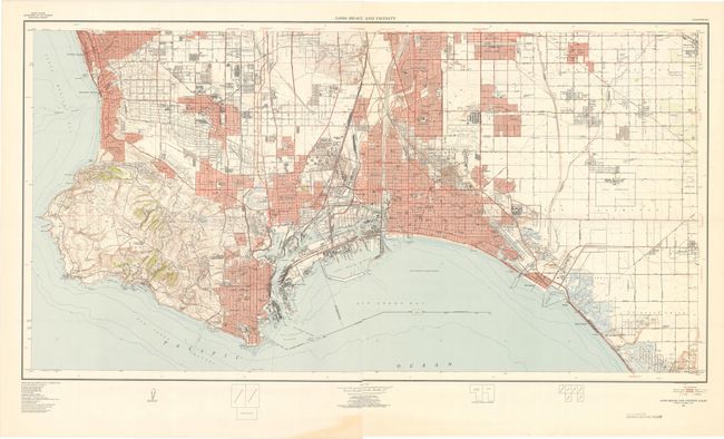
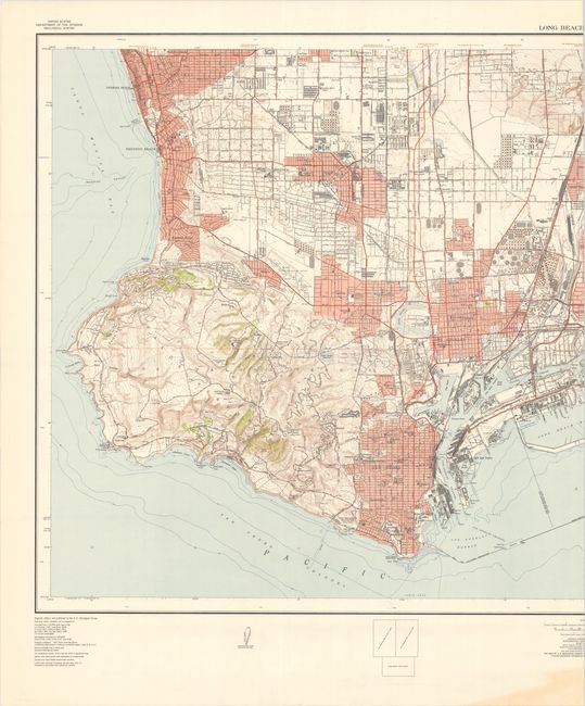
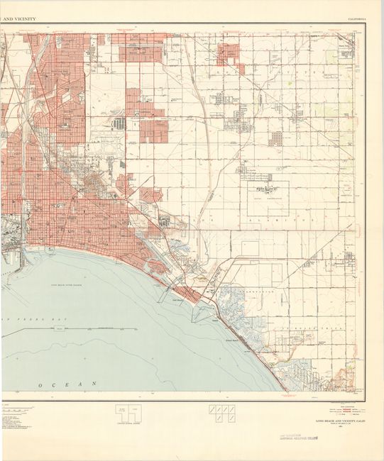
This lot contains two mammoth maps of the Los Angeles region. Each provides a remarkably detailed snapshot of the area in the 1950s on a scale of 1:24,000.
A. Los Angeles and Vicinity, West (46.3 x 65.6"). This is the western half of a two-sheet map of Los Angeles and Vicinity that extends from the San Fernando Valley south to Manhattan Beach and east to Los Angeles. Presents excellent detail of the street grids of the various municipalities and nice topographical features of the Santa Monica Mountains. Locates the oil refineries south of El Segundo, Hollywood Park, Universal Studios, Warner Brothers, Disney Studios, and much more.
B. Long Beach and Vicinity (67.8 x 35.3"). Covers the coastline from Hermosa Beach south to San Pedro and Long Beach. Shows the extensive shipping operations in the vicinity of San Pedro as well as the various oil tanks and refineries in the region. Detailed topography is presented via contour lines in Palos Verdes, and the street grid pattern of all the towns in the region are presented.
References:
Condition: A
Clean, bright, near fine examples. There are old library stamps in the bottom margins and some occasional wrinkling due to the size of the maps. The first map image is a composite image - the map is in two separate sheets. The Long Beach map image is also a composite image as it was too large and had to be scanned in two parts, but the map is a single-sheet map. The individual sheet images are higher resolution (and therefore better for zooming in) than the composite images.