Catalog Archive
Auction 175, Lot 102

"Suite du Cours du Fleuve de St. Laurent, Depuis Quebec Jusqu au Lac Ontario. Pour Servir a l'Histoire Generale des Voyages", Bellin, Jacques Nicolas

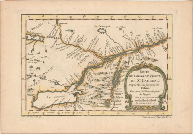
Subject: Colonial Lake Ontario & St. Lawrence River

Period: 1757 (dated)

Publication: Abrege Histoire Generale des Voyages

Color: Hand Color

Size:
11.3 x 7.5 inches
28.7 x 19.1 cm
Download High Resolution Image
(or just click on image to launch the Zoom viewer)

A detailed map of the region between Lake Ontario and the St. Lawrence River to Quebec. The map extends to Lake Champlain and Lake George, as well as Lake Nepessing in Michigan, with numerous portages named on the interconnecting waterways. Locates Montreal. There are a number of forts named, including Ft. Toronto, Ft. Oswego, and Ft. Georges. Published in La Harpe's Abrege Histoire Generale des Voyages.

References: Kershaw #632.

Condition: B+

A nice impression on a sheet with a bunch of grapes watermark, light toning, and minor offsetting.

Estimate: $110 - $140

Sold for: $80

Closed on 11/13/2019

Archived