Subject: References
Period: 1974-80 (published)
Publication:
Color: Black & White
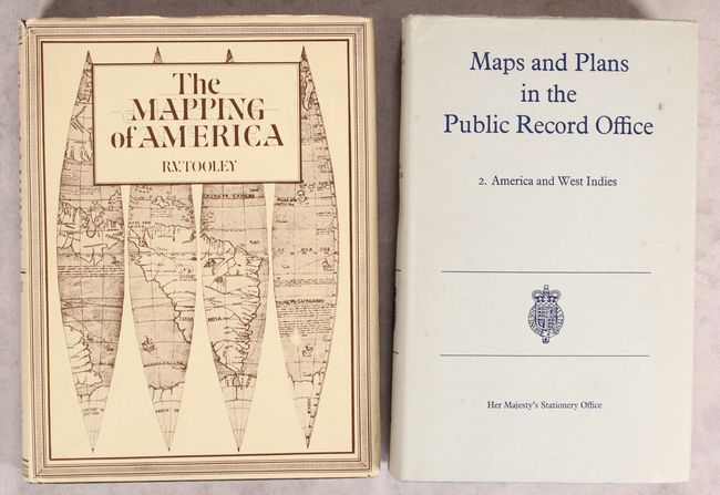
A. The Mapping of America, by R.V. Tooley, published 1980 (7.5 x 10.0"). An excellent reference work detailing the cartographic history of North America. There are essays on French mapping of the Americas, California as an island, Smith's map of Virginia and its many derivatives, marine surveys of James Cook, City Plans, Jansson-Visscher maps of New England, mapping the Great Lakes, maps of America in various editions of Ortelius' Theatrum, and more. Volume 2 in the Holland Press Cartographia series, 519 pp., with 179 uncolored illustrations. First edition, hardbound in green buckram, with illustrated dust jacket. Condition: Contents tight with some minor extraneous creasing in the corners and some unobtrusive manuscript notations in pencil. Corners of the covers are slightly bumped. Dust jacket has light shelf wear and some tiny edge tears.
B. Maps and Plans in the Public Record Office - 2. America and West Indies, by P.A. Penfold, published 1974 (6.3 x 9.9"). This dense catalog lists 4493 maps related to North, Central, and South America, the West Indies, and Bermuda in the possession of the Public Record Office. Edited by P.A. Penfold. 835 pp. Hardbound in blue buckram with dust jacket. Condition: Contents and covers tight with minor shelf wear. Dust jacket has light spots and shelf wear.
References:
Condition: A
See description above.