Subject: Atlases
Period: 1940 (circa)
Publication:
Color: Printed Color
Size:
7.4 x 10.3 inches
18.8 x 26.2 cm
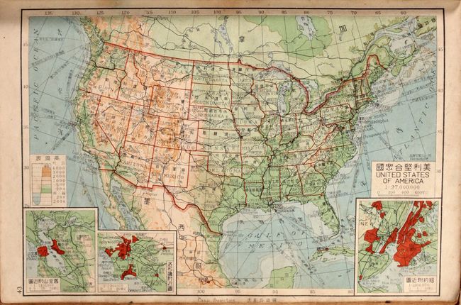
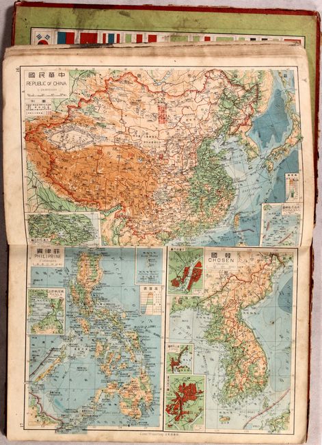
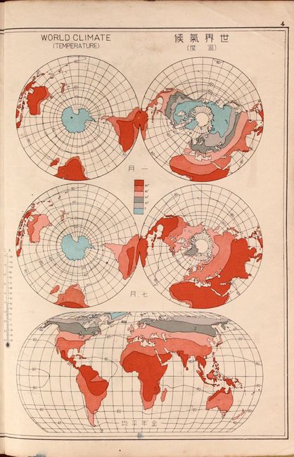
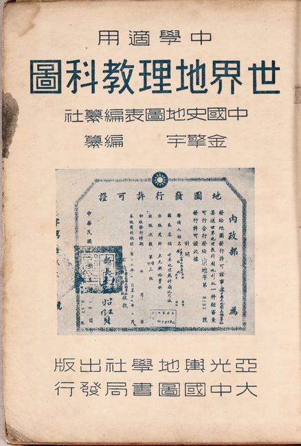
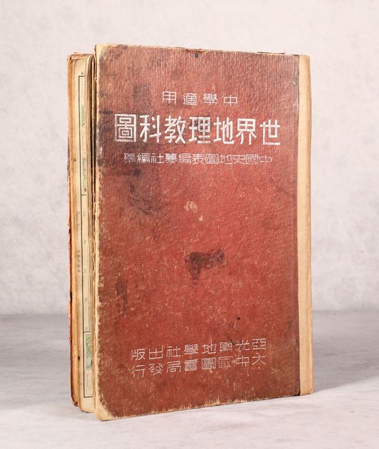
This school atlas with Chinese text includes 48 single-page maps covering the world. A preliminary page indicates it was based upon the Oxford Advanced Atlas and Goode's School Atlas. All of the maps contain titles in both Chinese and English, and a number of the maps also have some English place names. The first 12 maps are focused on the world, including 9 thematic maps comparing the world's languages, races, agriculture, climate, and more. The remaining 36 maps show the political world in the following order: Asia, Europe, Oceania, Africa, North America, and South America. The circa date is based upon Estonia, Latvia, Lithuania being annexed by the Soviet Union (1940) and Germany is still unified (1945). Following the maps are 91 pages of unpaginated text, with the volume reading from right to left (opposite of Western books). Quarto, hardbound in red cloth.
References:
Condition: B
The maps have light to moderate soiling along with minor foxing and occasional pencil notations. Accompanying text is toned with scattered foxing. The spine has been rebacked with heavy paper tape, but the front hinge is close to separating. Covers are worn and soiled.