Subject: Atlases
Period: 1883 (published)
Publication:
Color: Hand Color
Size:
15.1 x 17.9 inches
38.4 x 45.5 cm
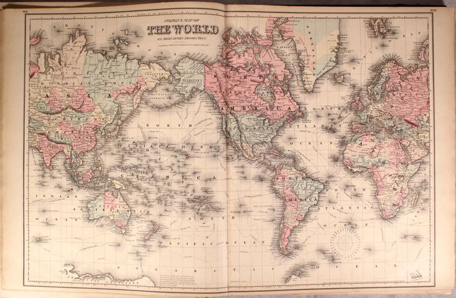
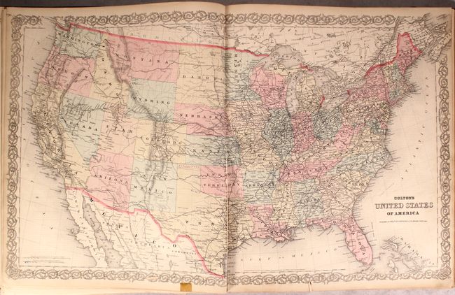
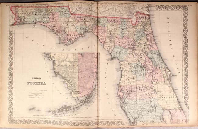
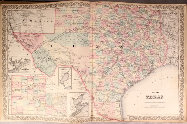
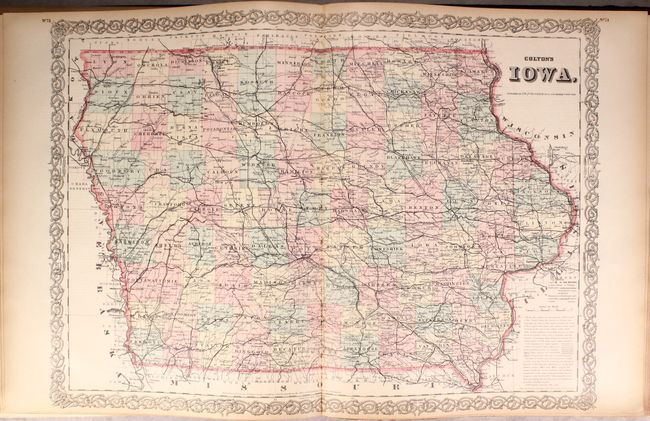
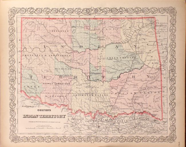
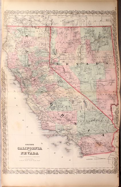
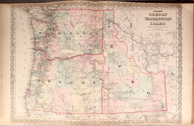
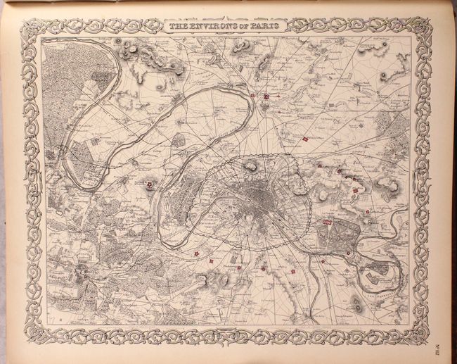
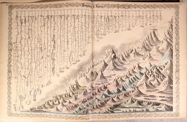
Colton's massive General Atlas is considered by many to be the pinnacle of American cartography in the latter part of the 19th Century. Included in this complete 1883 example is 72 single-page and 32 double-page maps, plans and charts, including many desirable state and regional maps such as California and Nevada and Oregon, Washington, and Idaho. Other important state maps featured in this atlas are the double-page editions of Kansas and Nebraska, both of which show very little development in the western reaches of each state. The atlas also features several thematic maps including brightly colored examples of Mountains and Rivers and Comparative Size of Lakes and Islands. A pair of fine city plans are the single-page, uncolored versions of Environs of London and Environs of Paris. These plates were originally published in 1855, and are finely engraved, highly detailed examples that locate all major landmarks, parks, topography, train stations, rail lines and more. The plan of Paris includes a depiction of the original wall that encircled the old city. Hardbound in original green cloth with decorative gilt illustration and title on the front cover.
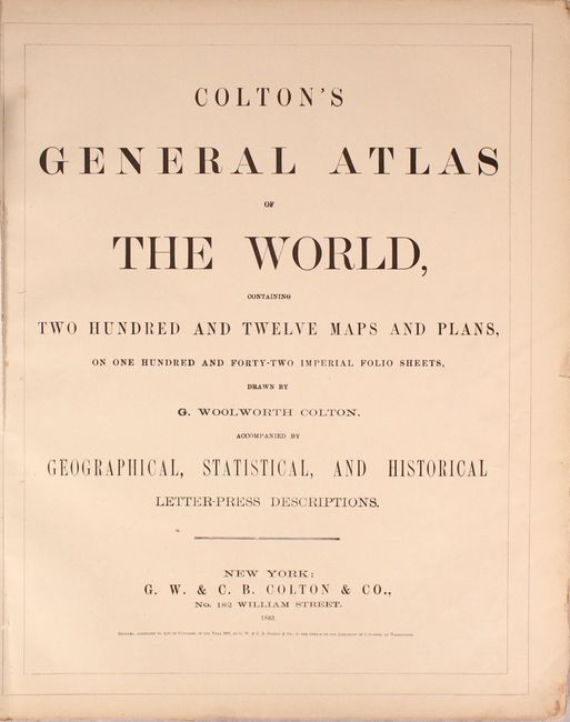
Colton began advertising this atlas as containing "two hundred and twelve maps and plans, on one hundred and forty-two imperial folio sheets" with the 1874 edition and it lasted until the final Colton atlases in 1886. Despite the advent of cheaper printed color seen in most atlases of this time period, the Colton firm opted to use the more attractive and time consuming hand coloring for their maps.
References:
Condition: B
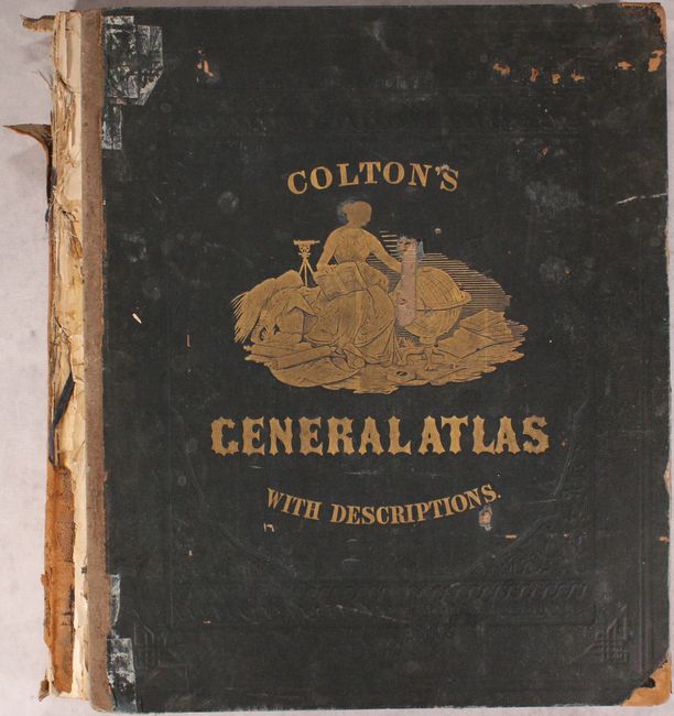
The maps range from good to near fine, with the majority being very good. A few of the maps have old tape repairs on verso and mostly in the margins (including the U.S. map), and three maps are loose. A few maps have moderate fold separations including the map of WY/CO/UT, and the map of Kansas is severed in half. The front board is detached, rear board is about to detach, and the spine has nearly perished. Given the generally favorable condition of the contents, this example would benefit from professional rebinding.