Subject: Atlases
Period: 1882 (published)
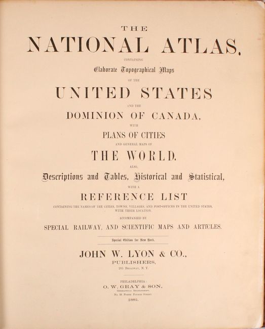
Publication:
Color: Printed Color
Size:
15.1 x 17.8 inches
38.4 x 45.2 cm
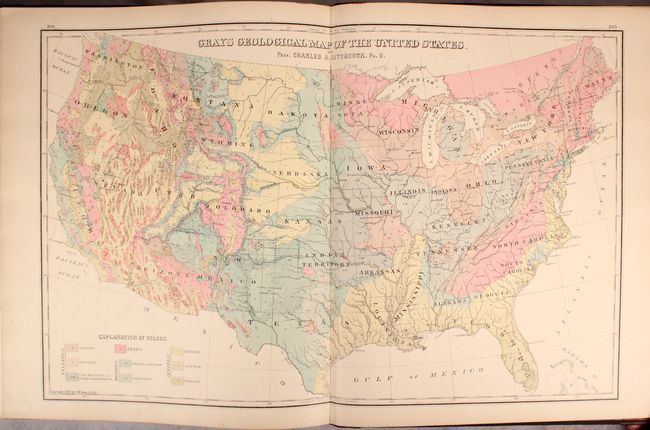
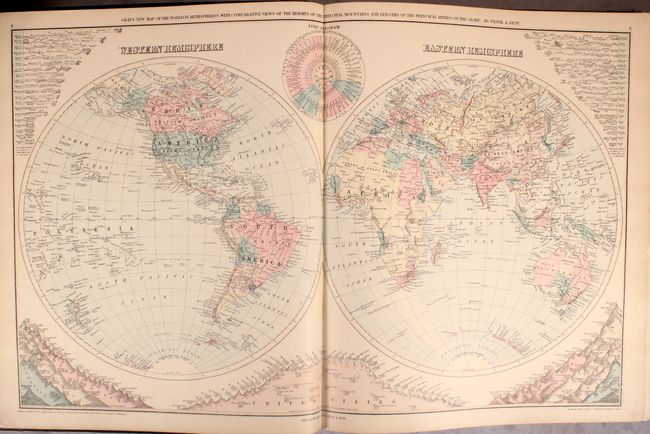
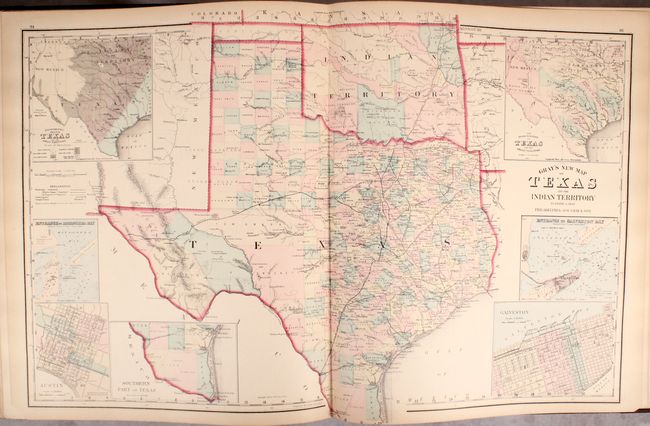
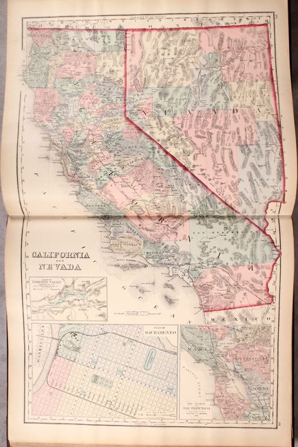
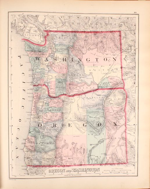
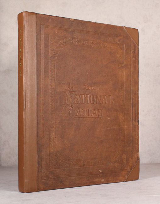
This complete atlas contains 39 single and 33 double-page maps focused mostly on the United States. The maps are hand colored which is quite unusual for this late publication date. The atlas includes the very attractive and colorful Gray’s Geological Map of the United States based upon Hitchcock that depicts nine different geologic formations, as well as Lorin Blodget's climatological map. The double-page map of Texas and the Indian Territory reflects the state's rapid growth as evidenced by the newly formed counties in the former huge panhandle section of Young Territory. Several railroads abruptly end between cities as the map indicates the exact progress to date. Seven large insets include city plans for Austin and Galveston, the Entrance to Galveston Bay, and the River Systems. The atlas also contains attractive double-page maps of California/Nevada, Kansas, New York, and single-page maps of Oregon/Washington, Arizona/New Mexico, and Nebraska among many others. Rebound in faux quarter leather and tips over cloth boards with blind-stamped title.
References:
Condition: B+
The maps are good to very good with overall light toning. Approximately 12 maps (including the U.S. map and a number of eastern state maps) have archival tissue along portions of the centerfold on recto to reinforce and repair some minor fold separations. Rebound with original cloth pasted on modern boards.