Catalog Archive
Auction 174, Lot 774

NO RESERVE

"Carte de l'Entree de Norton et du Detroit de Bhering, ou l'on Voit le Cap le Plus Oriental de l'Asie, et la Pointe la Plus Occidentale de l'Amerique", Bonne, Rigobert

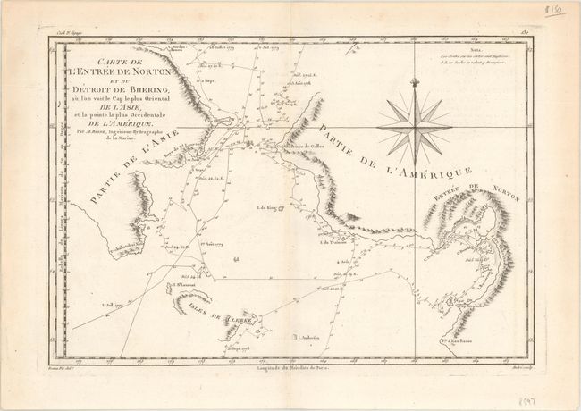
Subject: North Pacific Ocean

Period: 1788 (circa)

Publication: Atlas Encyclopedique

Color: Black & White

Size:
13.6 x 9.3 inches
34.5 x 23.6 cm
Download High Resolution Image
(or just click on image to launch the Zoom viewer)

Based on the expeditions of Captain Cook, this great map covers the Bering Strait from south of Norton Sound to north of Cap du Prince de Galles and the corresponding coastline of Russia. It shows the Chukotskiy and Seward peninsulas and parts of St. Lawrence Island (here Isles de Clerke). Features include islands, place names, soundings, and hachures representing coastal mountains. The tracks of both the 1778 and 1779 explorations are delineated; Cook having done the former and Clerke the latter after Cook's death in Hawaii in February 1779. Engraved by Andre and decorated with a large compass rose.

References: Falk (AK) #1788-2

Condition: A

A crisp impression on a watermarked sheet with faint offsetting.

Estimate: $80 - $100

Sold for: $80

Closed on 9/11/2019

Archived