Catalog Archive
Auction 174, Lot 714

"Carte Plate de la Partie Septentrionale du Detroit de Malac, Depuis la Rade d'Achem Jusqu'a Malac", Apres de Mannevillette, Jean B. N. D.

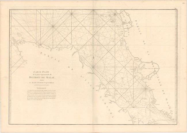
Subject: Malacca Strait

Period: 1775 (circa)

Publication: Neptune Orientale

Color: Black & White

Size:
28.1 x 19.1 inches
71.4 x 48.5 cm
Download High Resolution Image
(or just click on image to launch the Zoom viewer)

This handsome sea chart covers the Malacca Strait in between Sumatra and Malaysia. Rhumb lines, soundings, hazards, and anchorages fill the waters. There is no inland detail, but place names and rivers are located along the coasts.

A French sailor and hydrographer, D' Après de Mannevillette (1707-1780) used new instruments to correct the latitudes measured by previous explorers. His atlas Le Neptune Oriental, first published in 1745, was considered a major achievement and an indispensable resource for navigators.

References:

Condition: B+

On a sturdy watermarked sheet with light offsetting and a couple of small spots.

Estimate: $275 - $350

Sold for: $160

Closed on 9/11/2019

Archived