Catalog Archive
Auction 174, Lot 665

"Palaestina in XII. Tribus Divisa, cum Terris Adiacentibus Denuo Revisa & Copiosior Reddita Studio Iohannis Christoph. Harenbergii...", Bellin/Homann Heirs
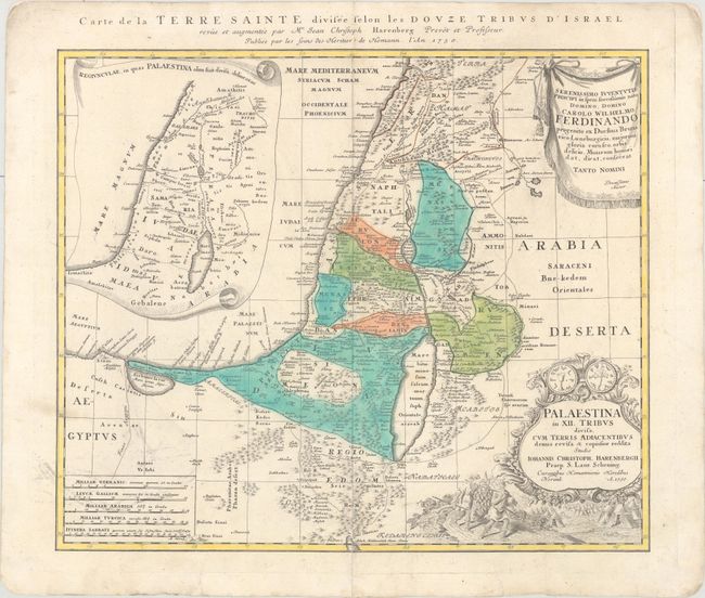
Subject: Holy Land

Period: 1750 (dated)

Publication: Major Atlas Scholasticus

Color: Hand Color

Size:
21 x 17.8 inches
53.3 x 45.2 cm
Download High Resolution Image
(or just click on image to launch the Zoom viewer)

This beautifully engraved map divides the Holy Land into the twelve tribes. It covers the coastline from Biblus nunc Gibele to the Sirbonis lacus. A map showing the region in Roman times is inset in a decorative scroll at left, and the title cartouche is topped with two sides of a shekel coin. Below the cartouche is a scene of the encampment of the Jews with two spies of Moses bearing the fruit from the Promised Land. The map was drawn by Johann Christoph Harenberg. French title in top margin, "Carte de la Terre Sainte Divisee Selon les Douze Tribus d'Israel…"

References: Laor #325.

Condition: B+

On a watermarked sheet with some light printer's ink residue. There is a centerfold separation at bottom that extends 3.25" into the image that has been repaired with archival materials on verso.

Estimate: $300 - $400

Sold for: $180

Closed on 9/11/2019

Archived