Catalog Archive
Auction 174, Lot 562
"Die Gegend Zwischen Pultava und Bender mitt Angraenzenden Polnisch, Turckisch und Tartarischen Landschafften", Bodenehr, Gabriel
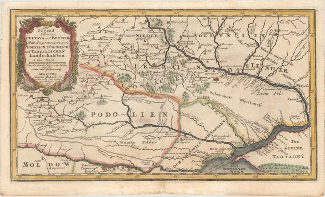
Subject: Ukraine
Period: 1704 (published)
Publication: Atlas Curieux
Color: Hand Color
Size:
11.9 x 6.6 inches
30.2 x 16.8 cm
Download High Resolution Image
(or just click on image to launch the Zoom viewer)
(or just click on image to launch the Zoom viewer)