Catalog Archive
Auction 174, Lot 453
"Les Pays Bas, ou sont Remarquees les Aquisitions de la France Iusques a la Treve de 1684", Fer, Nicolas de
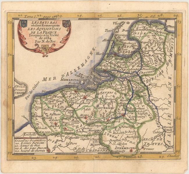
Subject: Low Countries
Period: 1689 (published)
Publication: Methode pour Apprendre Facilement la Geographie
Color: Hand Color
Size:
6.3 x 5.4 inches
16 x 13.7 cm
Download High Resolution Image
(or just click on image to launch the Zoom viewer)
(or just click on image to launch the Zoom viewer)