Catalog Archive
Auction 174, Lot 421
"Regnum Hiberniae Divisum in Quatuor Partes quae sunt Ultonia Conachia Lagenia et Momonia...", Wit, Frederick de
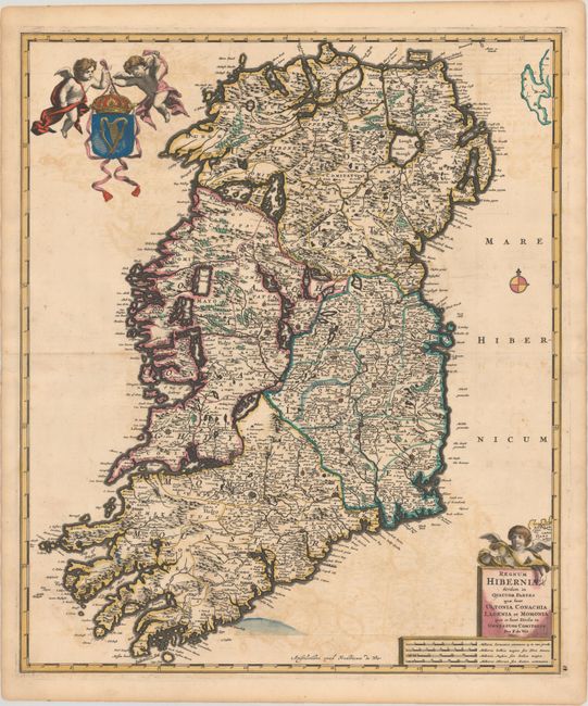
Subject: Ireland
Period: 1680 (circa)
Publication:
Color: Hand Color
Size:
19.2 x 22.9 inches
48.8 x 58.2 cm
Download High Resolution Image
(or just click on image to launch the Zoom viewer)
(or just click on image to launch the Zoom viewer)