Subject: Britain
Period: 1794-1801 (dated)
Publication:
Color: Hand Color
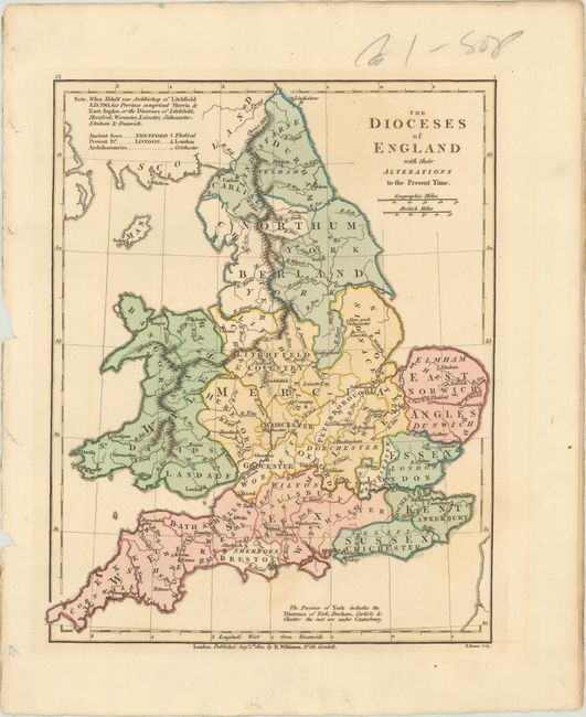
A. The Dioceses of England with Their Alterations to the Present Time, from Atlas Classica..., dated 1801 (8.9 x 11.1"). This handsome map divides England and Wales into its dioceses. A key at top left identifies ancient sees, present dioceses, and archdeaconries. The map names major towns and cities and includes two distance scales beneath the title. Engraved by E. Bourne. Condition: On a sheet with a "J. Ruse 1802" watermark and faint offsetting from an opposing page.
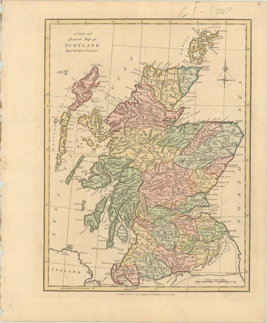
B. A New and Accurate Map of Scotland from the Latest Surveys, from General Atlas of the World..., dated 1794 (8.5 x 11.3"). This nicely engraved map shows Scotland, the Orkney Islands, and Western Islands. It features counties, towns and cities, and topographical information. There is a compass rose at top right and a distance scale at bottom right. Condition: Minor toning and printer's ink residue.
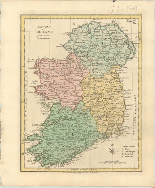
C. A New Map of Ireland from the Best Authorities, dated 1794, from General Atlas of the World..., (8.7 x 11.2"). This map of Ireland is divided into the four provinces of Ulster, Connaught, Leinster, and Munster. It is further subdivided into counties and includes many town and city names. There is a compass rose and distance scale at bottom. Condition: Near fine.
References:
Condition: A
See description above.