Subject: New York
Period: 1902 (dated)
Publication:
Color: Hand Color
Size:
5.4 x 108 inches
13.7 x 274.3 cm
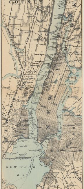
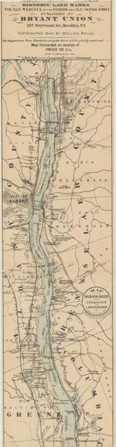
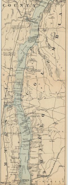
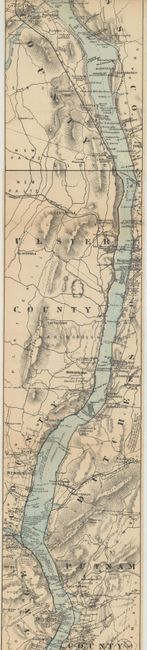
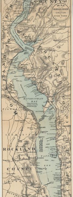
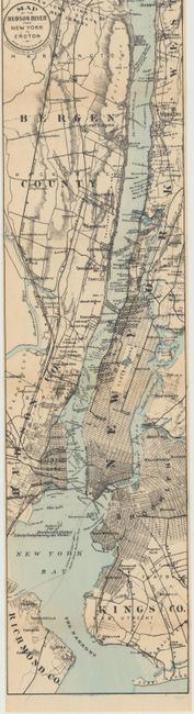
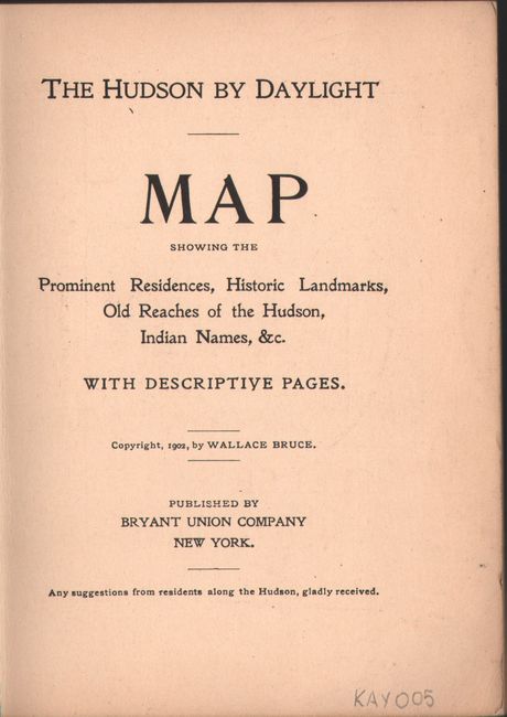
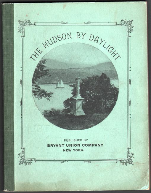
This remarkable map in strip-chart format is over 100 inches long! Drawn on a scale of 1.5 miles per inch, it features amazing detail of the region. Complied from U.S. Coast Survey data, this extraordinary map includes the names of prominent residences along the Hudson, historical landmarks, and Indian names. Blank verso. It folds into a booklet, The Hudson by Daylight, with 30 pp. of text and black & white photographs. The map is dated 1894, but the booklet was published in 1902 by Bryant Union Company in New York.
References:
Condition: B+
Map is detached from booklet, with the title panel of the map still glued to back cover. There is minor toning along some of the folds. Booklet's covers are lightly soiled with a damp stain at bottom. Text is lightly toned.