Subject: Kentucky & Tennessee
Period: 1828 (dated)
Publication:
Color: Hand Color
Size:
21.3 x 16.9 inches
54.1 x 42.9 cm
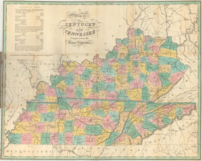
Finely's maps employ a delicate and elegant engraving style and provided extensive topographical and watershed information. He was the dominant map maker in the United States in the early 1820s into the 1830s. His atlases were very successful, outselling rival atlases by Carey & Lea, and Tanner. His maps were printed on high quality paper and were routinely corrected and updated.
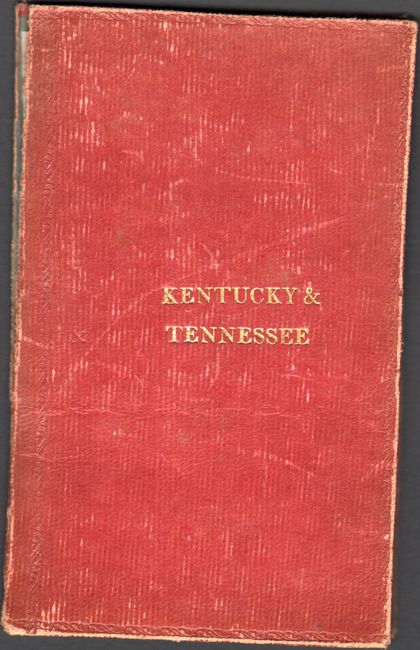
This is the uncommon pocket map version of Finley's handsome map of Kentucky and Tennessee. County development in Kentucky is current to 1824, with Spencer County shown, but no sign of Edmonson, Laurel, or Russell, all of which were established in 1825. Tennessee's county development is current to 1825, reflecting the updated Franklin-Marion boundary. There is nice detail of rivers and roads. The table at top left gives 1820 population statistics divided into White, Free Blacks, and Slaves, and population growth figures from 1790 to 1820. The map folds into red leather covers with the title in gilt on the cover. An advertisement for Finley's firm appears on the paste-down. The plate was drawn by D.H. Vance and engraved by J.H. Young, and it originally appeared in Finley's A New American Atlas (1826). Finley published his atlas maps in pocket format until he sold his plates to Samuel Augustus Mitchell in 1831.
References:
Condition: B+
Issued folding with a 2" separation along the upper horizontal fold as well as a few other minor splits at the fold junctions. There is a hint of light toning and some minor stains along the left border where the map was adhered to the rear board. Covers are scuffed and close to separating.